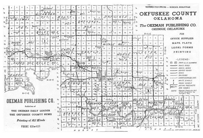
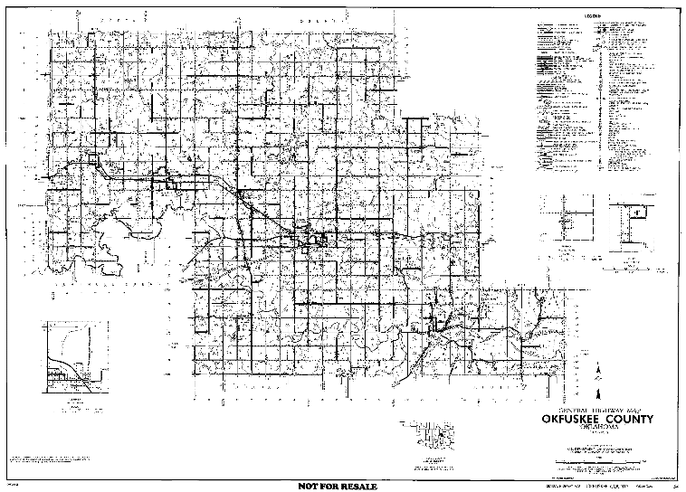
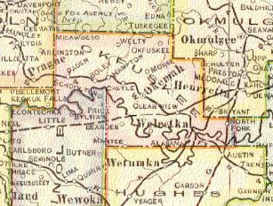
Map - Old Voting Precincts and School Buildings (b/w) (large file)
This page was last updated on
10/14/11

| ||||||||||||
  |
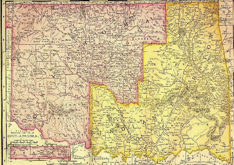
Okfuskee County |
  |
|
Home |
Archives |
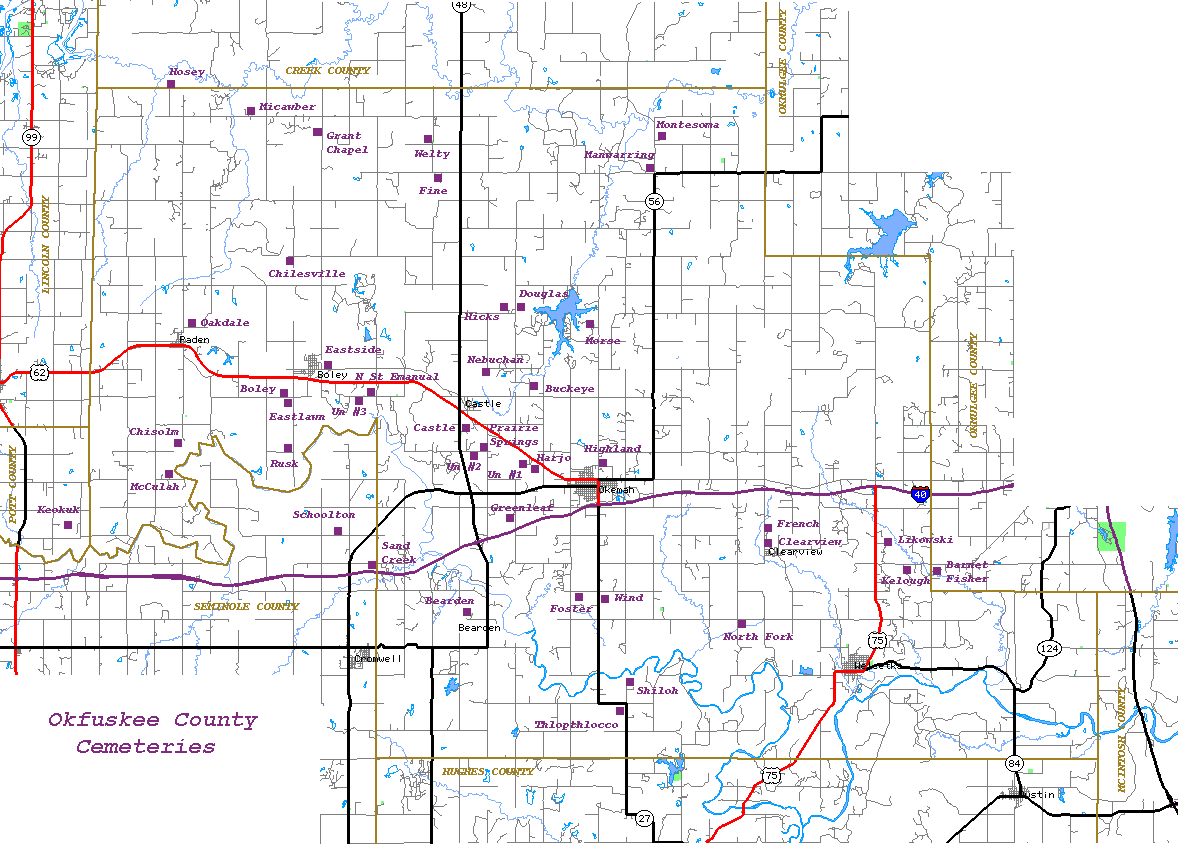
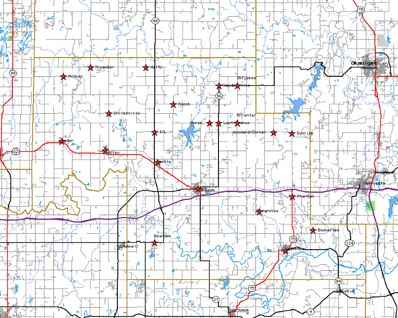
Cemeteries |
Obits
| Queries
| Additional
Links |
||


