OKGenWeb Logo

Maps 'n' More
Created By Sharon McAllister

USGenWeb Logo

Back to Caddo Co. Map Links

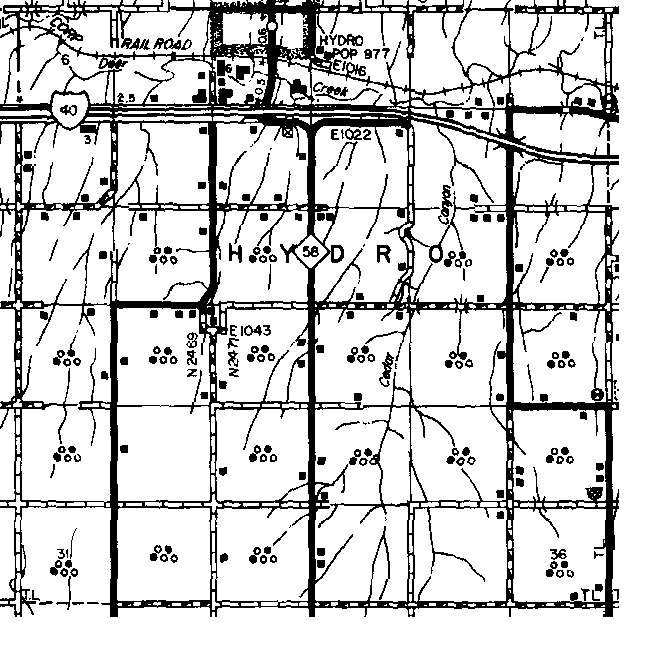
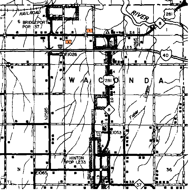
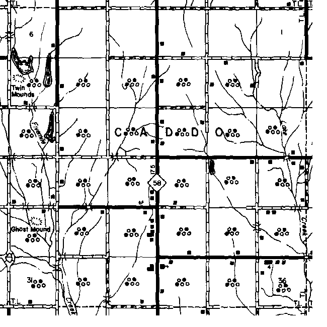
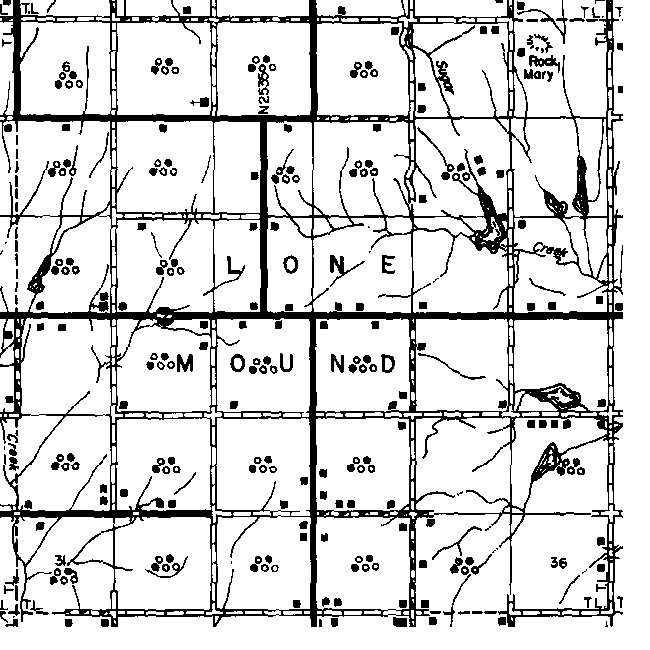
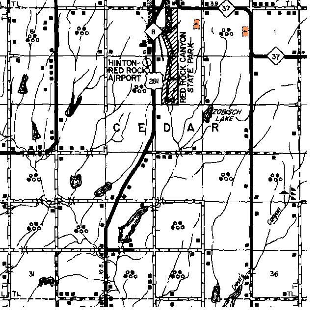
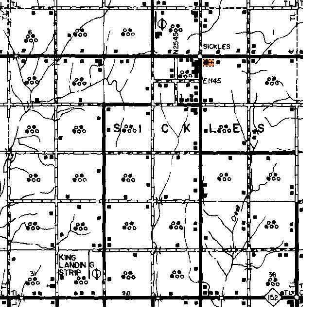
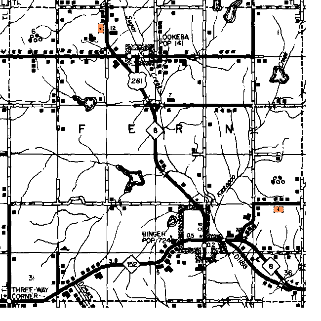
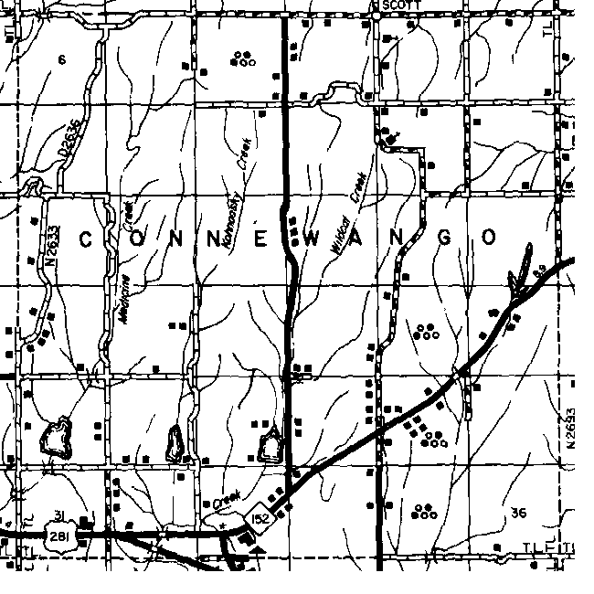
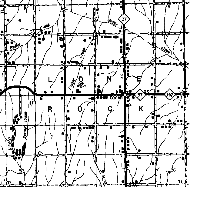
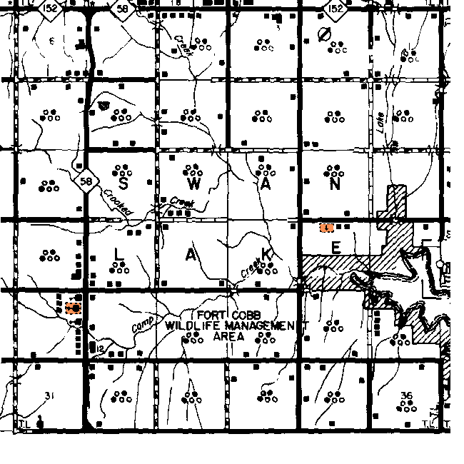
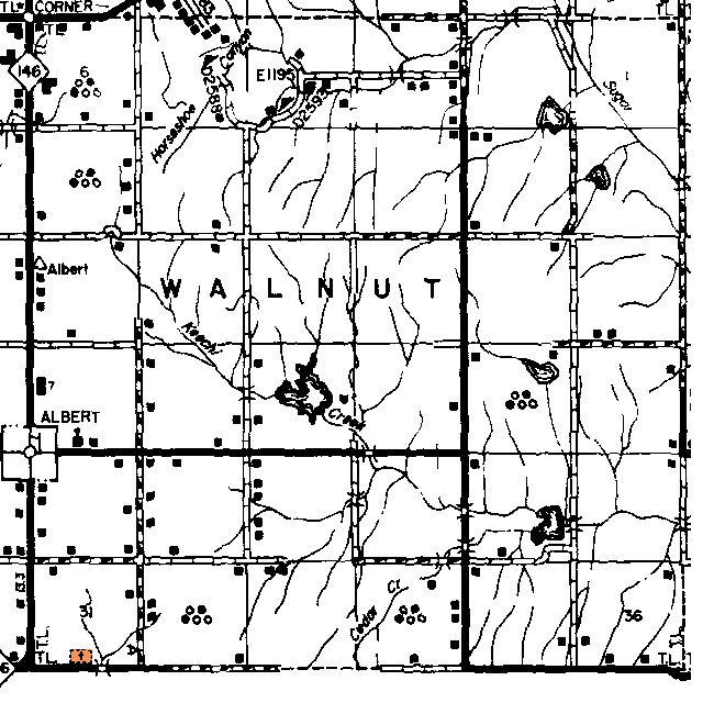
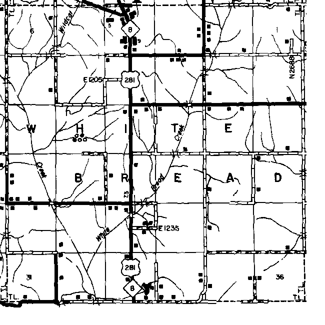
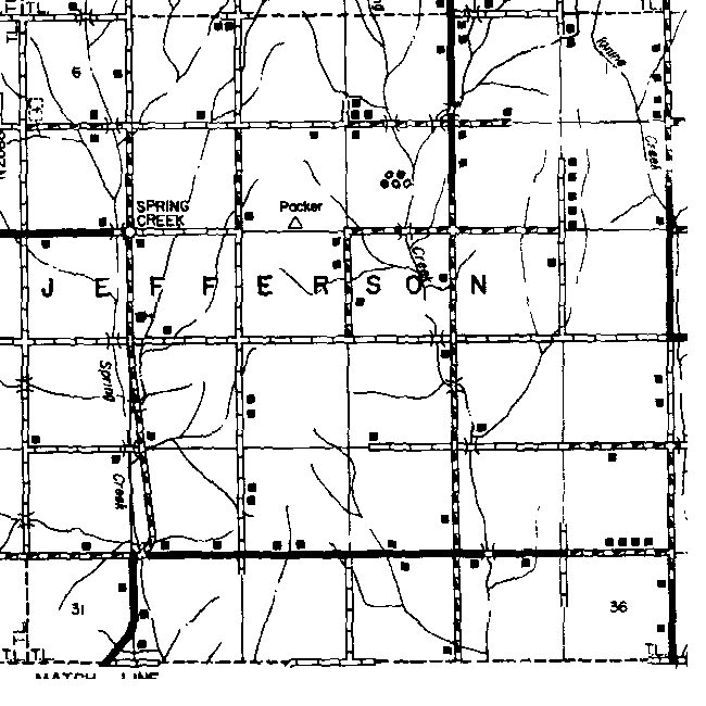
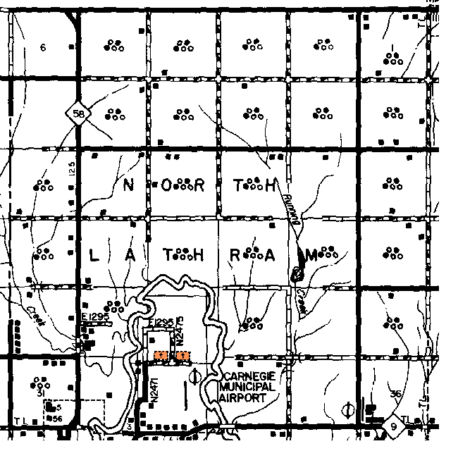
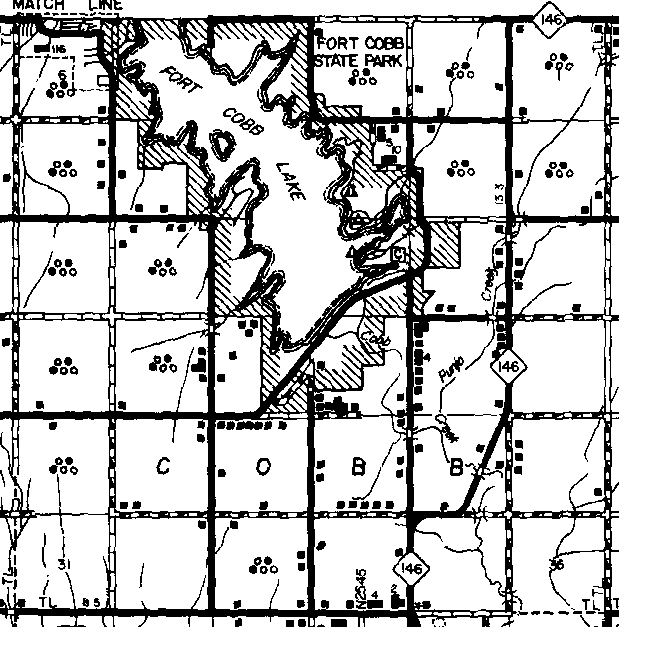
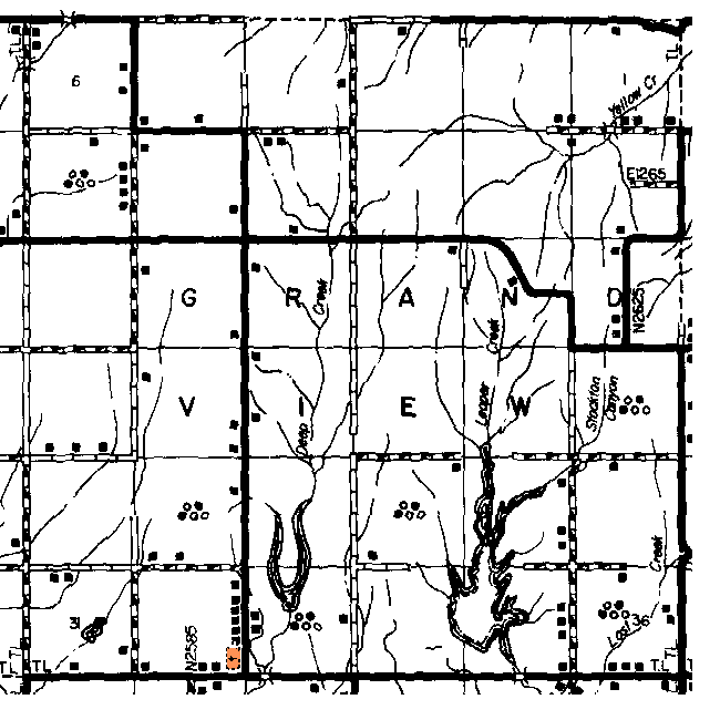
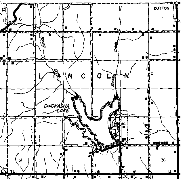
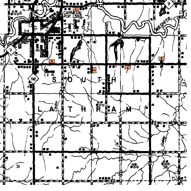
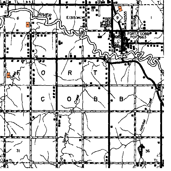
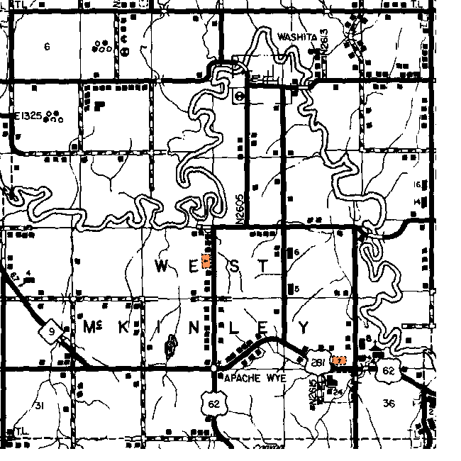
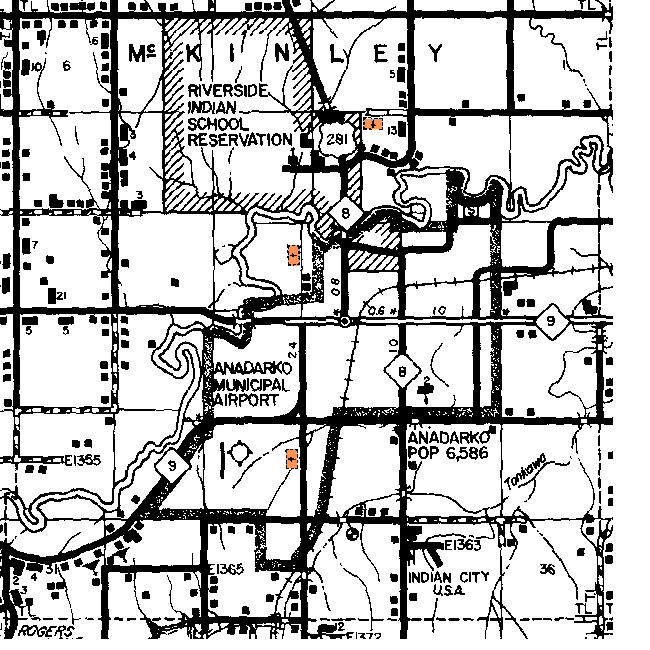
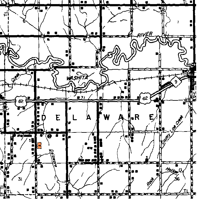
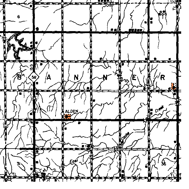
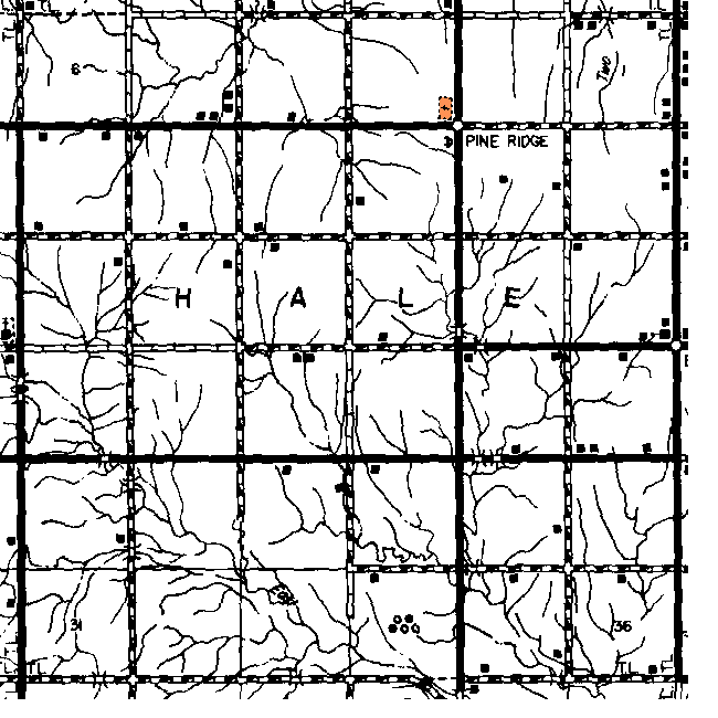
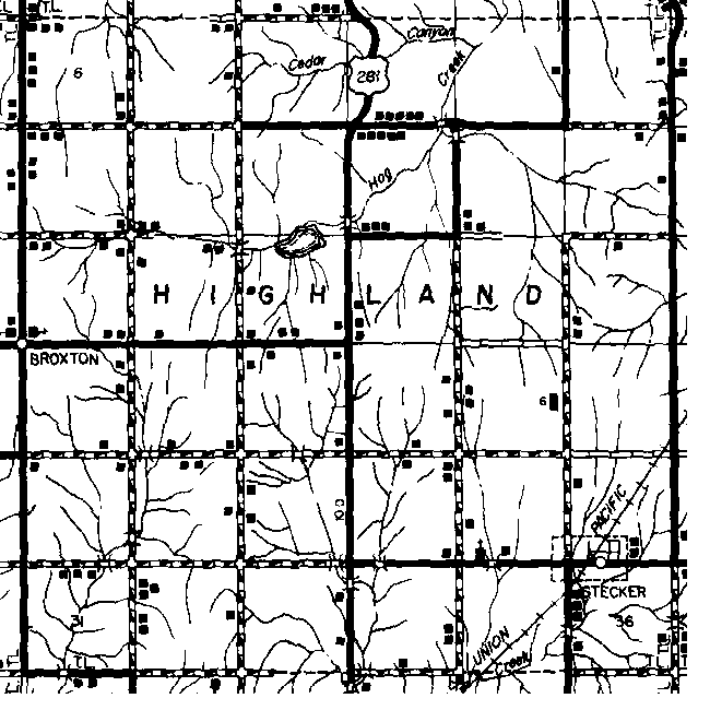
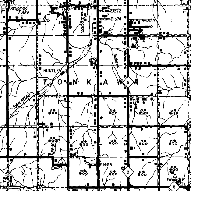
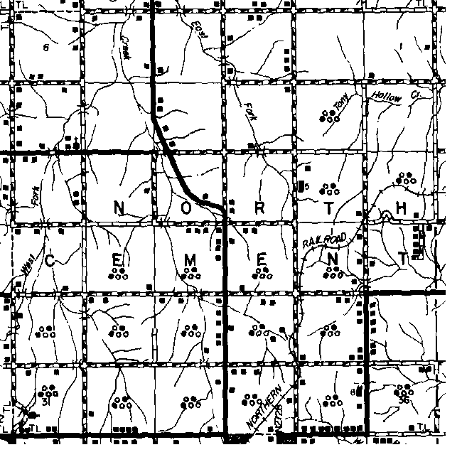
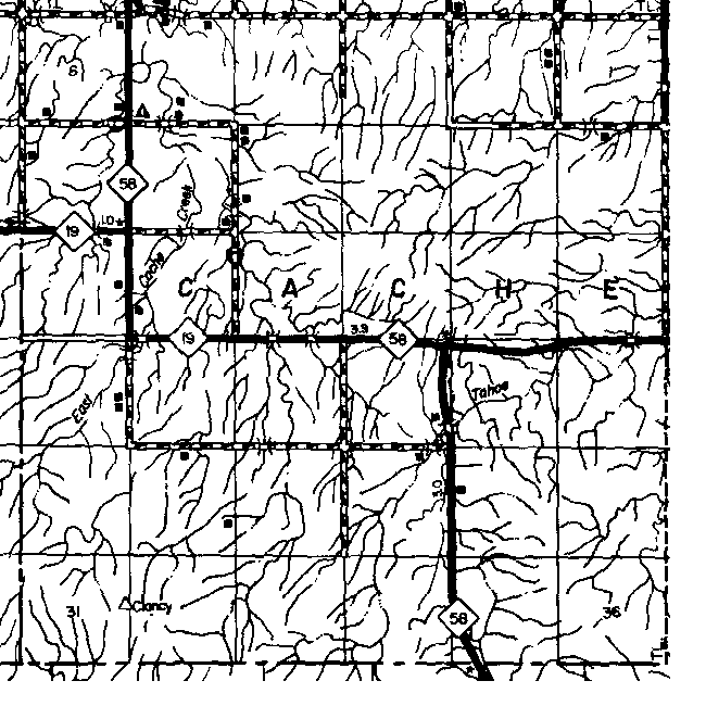
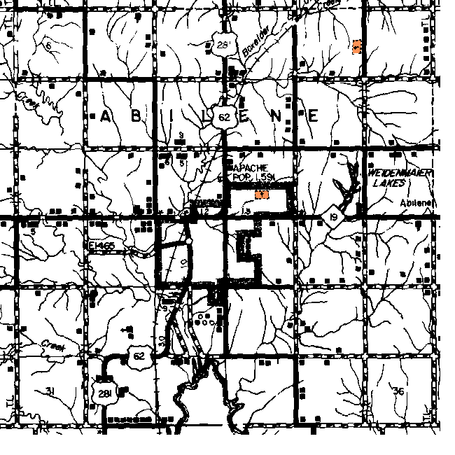
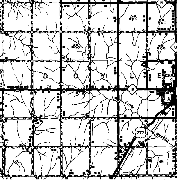
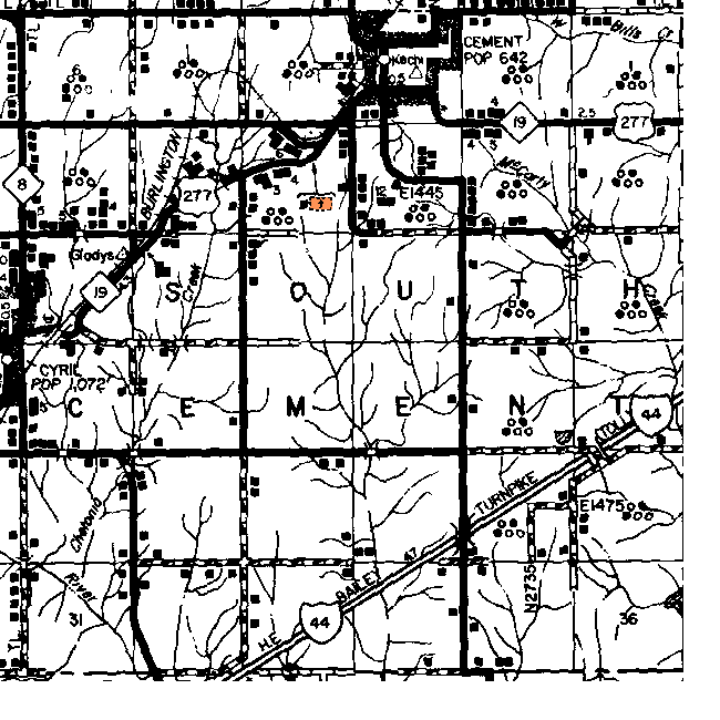
Caddo  County Township Maps

The gridlines on this map are the Township and Range boundaries. Click on any point on the County map to see a much more detailed map showing the 36 sections that make up the numbered Township surrounding it. 

  Range 13W Range 12W Range 11W Range 10W Range 9W
12N

cad-12n-13w.gif (24932 bytes)

cad-12n-12w-cem.gif (22854 bytes)

cad-12n-11w-cem.gif (25602 bytes)


11N

cad-11n-13w.gif (23137 bytes)

cad-11n-12w.gif (22491 bytes)

cad-11n-11w-cem.gif (25804 bytes)


10N

cad-10n-13w-cem.gif (23782 bytes)

cad-10n-12w-cem.gif (22804 bytes)

cad-10n-11w-cem.gif (24879 bytes)

cad-10n-10w.gif (25485 bytes)

cad-10n-9w.gif (24775 bytes)

9N

cad-9n-13w-cem.gif (24083 bytes)

cad-9n-12w.gif (22343 bytes)

cad-9n-11w-cem.gif (23289 bytes)

cad-9n-10w.gif (21366 bytes)

cad-9n-9w.gif (21298 bytes)

8N cad-8n-13w-cem.gif (22413 bytes) cad-8n-12w.gif (25264 bytes) cad-8n-11w-cem.gif (22200 bytes) cad-8n-10w-cem.gif (23379 bytes) cad-8n-9w.gif (21109 bytes)
7N cad-7n-13w-cem.gif (26376 bytes) cad-7n-12w-cem.gif (25011 bytes) cad-7n-11w-cem.gif (25510 bytes) cad-7n-10w-cem.gif (27228 bytes) cad-7n-9w-cem.gif (24447 bytes)
6N cad-6n-13w-cem.gif (25545 bytes) cad-6n-12w-cem.gif (24601 bytes) cad-6n-11w.gif (25978 bytes) cad-6n-10w.gif (25972 bytes) cad-6n-9w.gif (26387 bytes)
5N cad-5n-13w.gif (27774 bytes) cad-5n-12w-cem.gif (25593 bytes) cad-5n-11w-cem.gif (27727 bytes) cad-5n-10w.gif (24894 bytes) cad-5n-9w-cem.gif (28059 bytes)

Thanks for stopping by!
Maps 'n' More

State-wide resources formerly found on Ceil's Corner 
Created By Sharon McAllister
Became an OKGenWeb Special Project  March 31, 2001
© 2001 - 2024 OKGenWeb

mini envelope E-mail Maps 'n' More

bug  Find any bugs or broken links?
Please Report them here
bug

Page last updated on
 Thursday, March 28, 2024 

This site maintained by Mel Owings