The USGenWeb Archives and Tombstone Projects are temporarily offline. We apologize for the broken links. A solution is being investigated.
The USGenWeb Archives and Tombstone Projects are temporarily offline. We apologize for the broken links. A solution is being investigated.
Hope Cemetery, Stephens County, Oklahoma
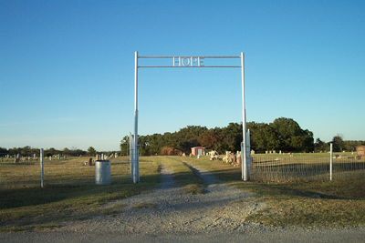
Hope Cemetery, Stephens County, Oklahoma
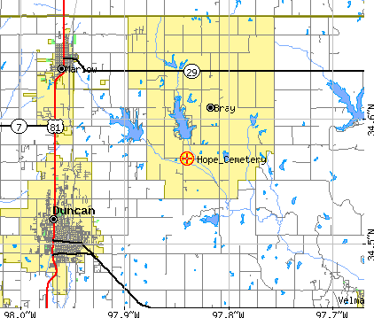
Driving Directions:
In
Duncan at the intersection of U. S Hwy 81 and Plato Rd. turn east. Go
east on Plato Rd. 7 miles and then turn north on Clear Creek Rd. Follow
Clear Creek Rd. north for 2.3 miles and then turn east onto Hope Rd. Hope
Cemetery is 2/10 mile east and located on the north side of the road.
Google Map Link
Contact:
Don Spivey - ph. (580) 255-9291
Comments:
This cemetery is well maintained.
Maps courtesy
of U. S. Census Bureau's Tiger Map Server Browser
Contact Us
State Coordinator: Linda K. Lewis
Asst State Coordinator: Rebecca Maloney