The USGenWeb Archives and Tombstone Projects are temporarily offline. We apologize for the broken links. A solution is being investigated.
The USGenWeb Archives and Tombstone Projects are temporarily offline. We apologize for the broken links. A solution is being investigated.
Duncan Municipal Cemetery, Duncan, Stephens County, Oklahoma
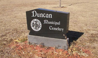
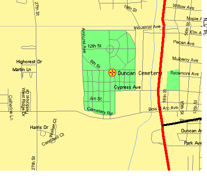
Duncan Municipal Cemetery, Duncan, Stephens County, Oklahoma
Driving Directions:
South Gate: W. Bois D'Arc St. , West of U. S. Hwy
81
East Gate: West of U. S. Hwy 81 on Cypress St.,
North Gate: West
at intersection of U. S. Hwy 81 and Main Street to
19th St. Turn South
and go 2 blocks.
Contact:
Cemetery Phone Number: (580)-252-0250
Comments:
Well maintained.
Maps courtesy of U. S.
Census Bureau's Tiger Map Server Browser
Listed below are the
blocks of the Duncan Municipal Cemetery that are currently transcribed.
As more blocks are surveyed and transcribed they will be placed on this
page.
Contact Us
State Coordinator: Linda K. Lewis
Asst State Coordinator: Rebecca Maloney