a proud partner of USGenWeb®
Map - Old Voting Precincts and School Buildings (b/w) (large file)
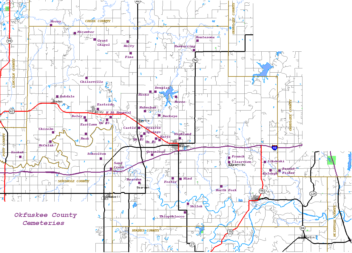
Map - Cemetery locations (color)
Map - Detailed County map with towns and roads shown (color)
Map - Highway map showing highways, section lines, etc. (b/w) (large file)
Map - 1910 County map shows surrounding counties and railroads (color)
State Map - 1895 Oklahoma - Indian Territory (color) (very large file)
Page updated:
State Coordinator: Linda K. Lewis
Asst State Coordinator: Rebecca Maloney
Designed by Templates in Time