
Maps
'n' More
Created
By
Sharon McAllister

|
|
Maps
'n' More |
|
|
|
||
|
|
|
||
|
|
|
|
|
|
|
|
|
|
|
|
|
|
|
|
|
|||
| Back to Washita Co. Map Links |
1915 Atlas
Washita County
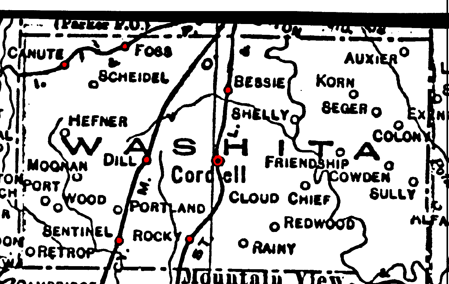
Railroad Stations are shown in red.
The line through the northwest corner is the Chicago, Rock Island and Pacific.
The one through Sentinel and Dill is the Kansas City, Mexico & Orient. Later acquired by the Santa Fe and still operational in 1972.
The one through Cordell is the St. Louis and San Francisco. It was still operational in 1972.
The Atlas shows no roads in Washita County. The thin lines are rivers and creeks.
![]()
|
Page last updated
on
Tuesday, July 21, 2026
This site maintained by
Mel Owings
![]()