
Maps
'n' More
Created
By
Sharon McAllister

|
|
Maps
'n' More |
|
|
|
||
|
|
|
||
|
|
|
|
|
|
|
|
|
|
|
|
|
|
|
|
|
|||
| Back to Oklahoma County Township Maps | Back to Oklahoma County Cemetery Lists |
Oklahoma County - T11N-R4W
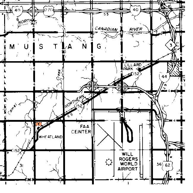
| Cemetery | Directions/Comments/Links | Sec | Latitude | Longitude | Quad |
| Pleasant Valley Cemetery | 29 | 352419N | 0973911W | Mustang |
Click on cemetery name for more details from GNIS. Use Lat/Long and Quad name for consulting conventional maps or searching Terraserver and Topozone for cemeteries not shown here.
![]()
|
Page last updated
on
Tuesday, July 21, 2026
This site maintained by
Mel Owings
![]()