Maps
'n' More
Created
By
Sharon McAllister

|
|
Maps
'n' More |
|
|
|
||
|
|
|
||
|
|
|
|
|
|
|
|
|
|
|
|
|
|
|
|
|
|||
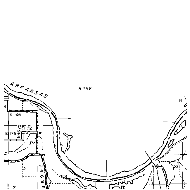
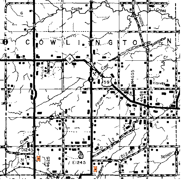
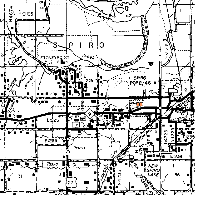
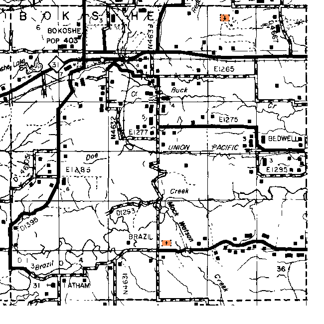
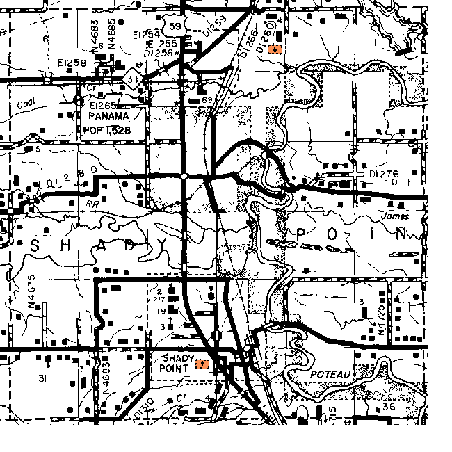
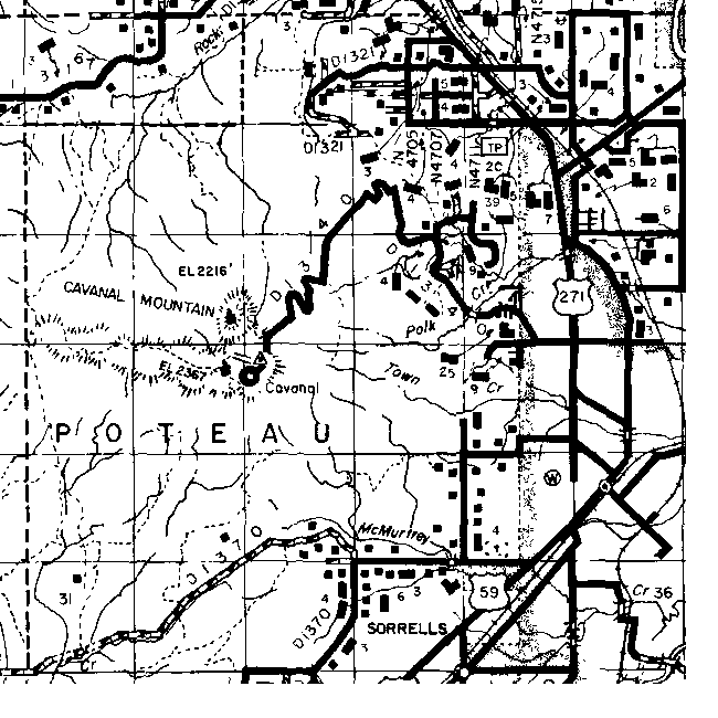
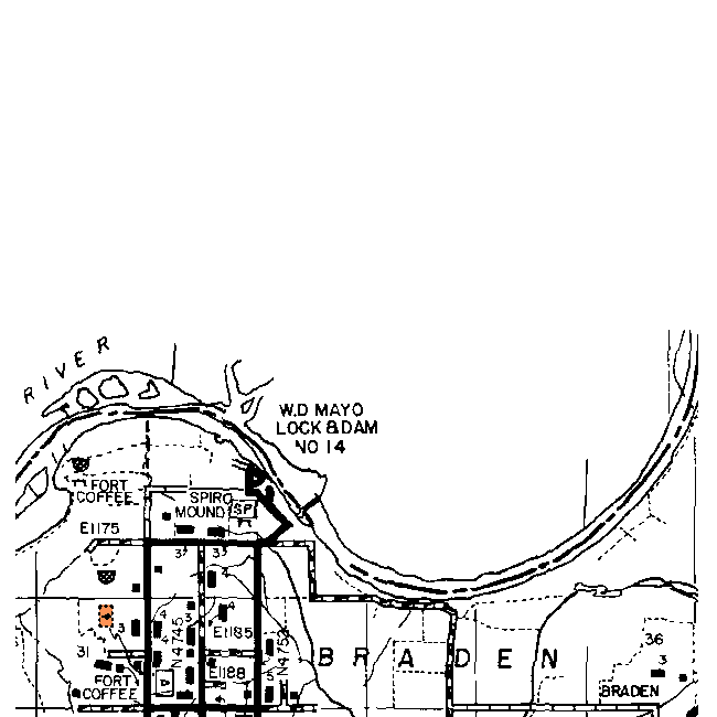
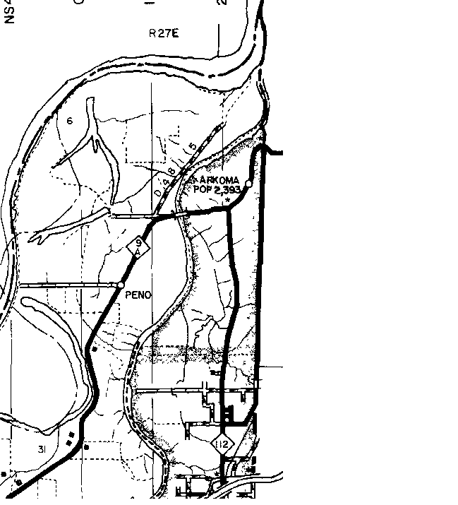
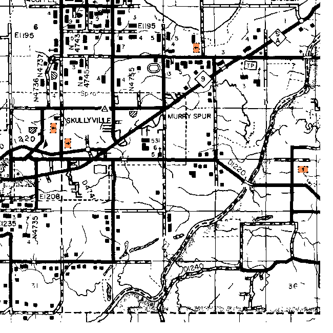
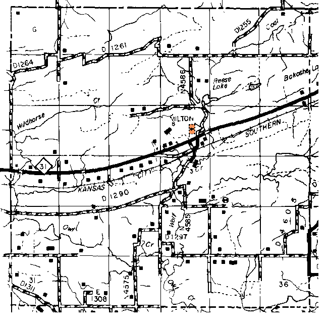
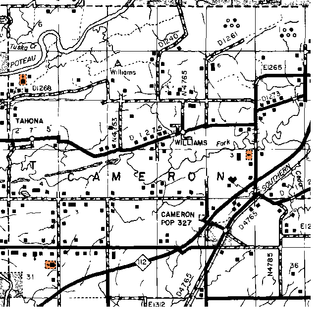
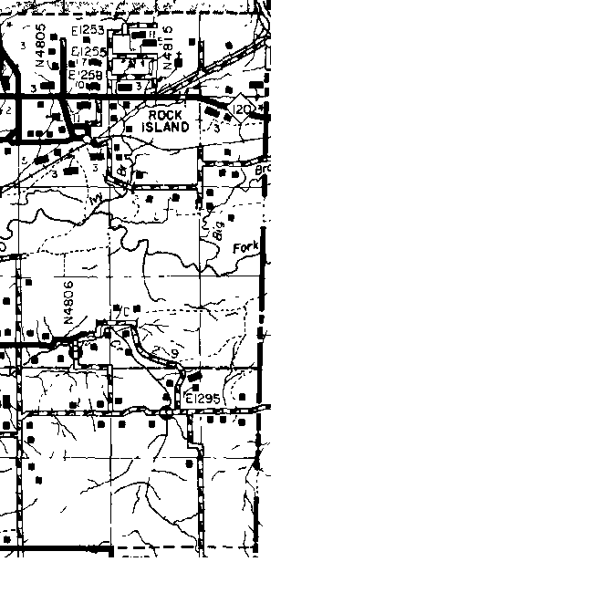
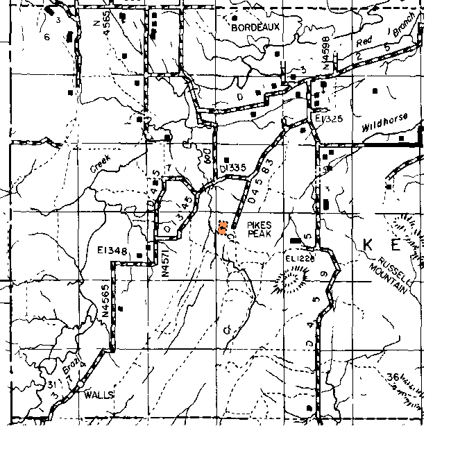
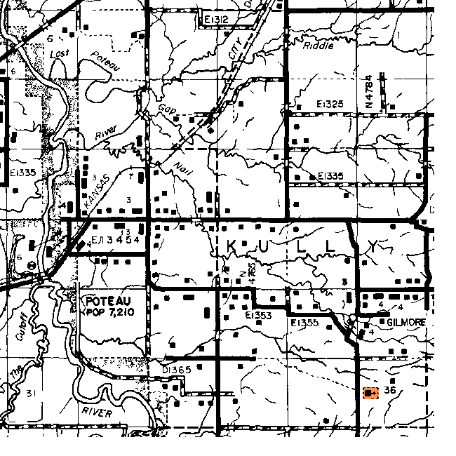
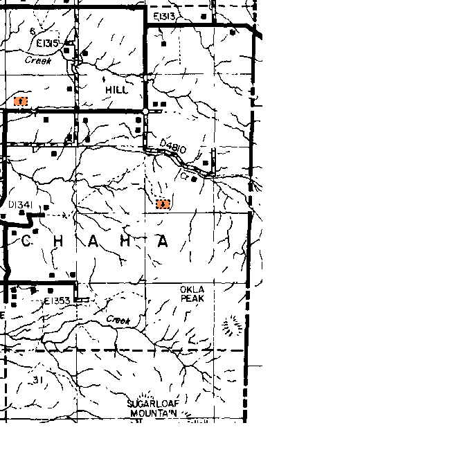
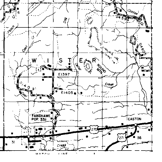
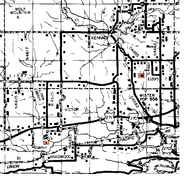
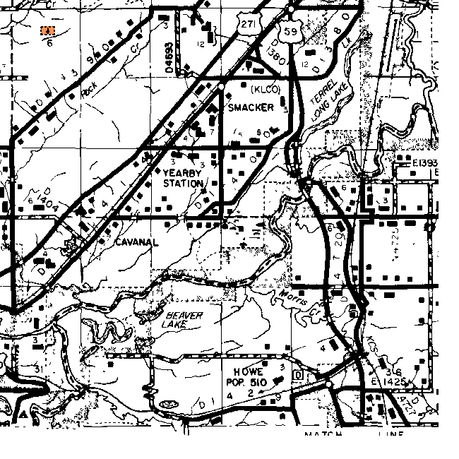
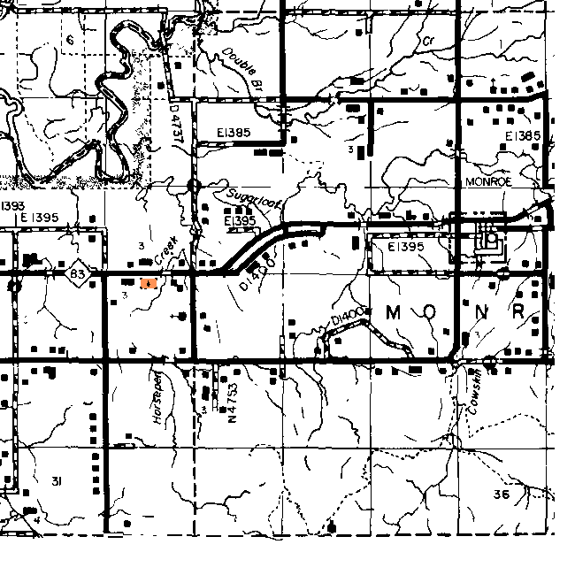
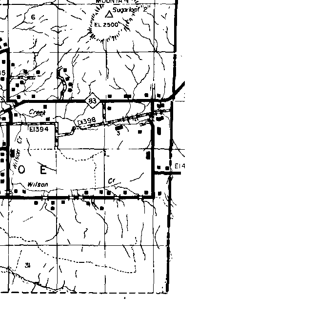
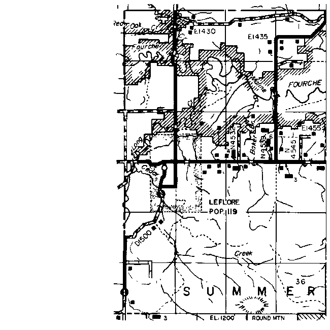
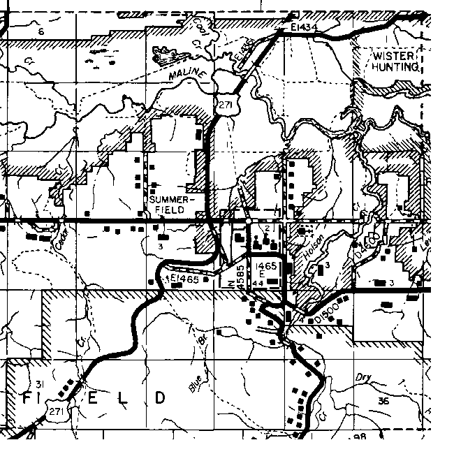
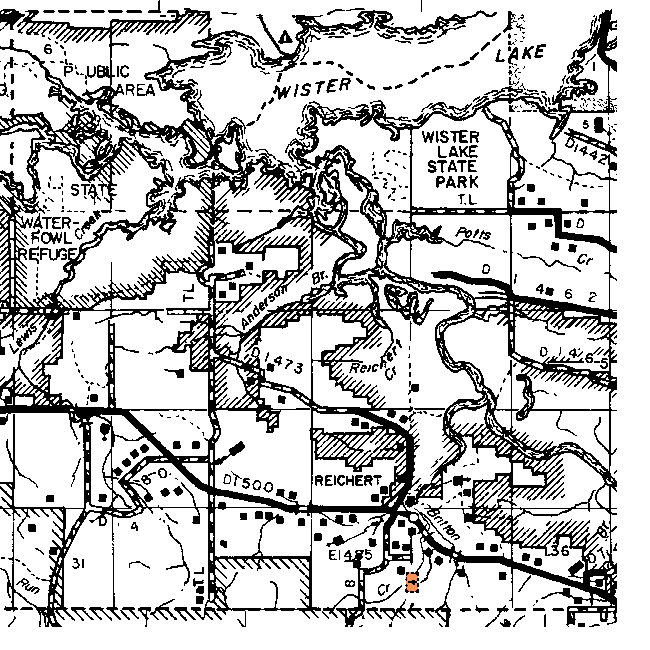
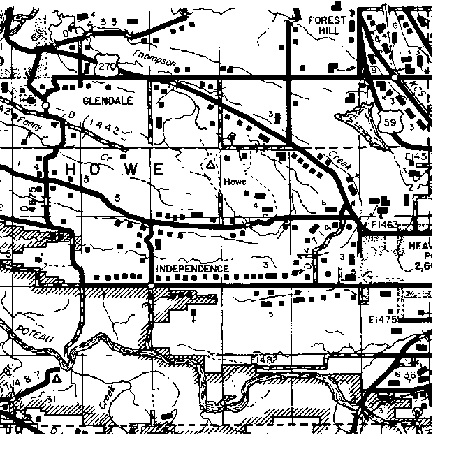
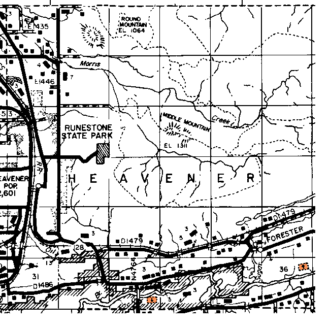
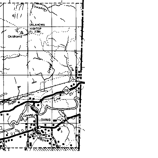
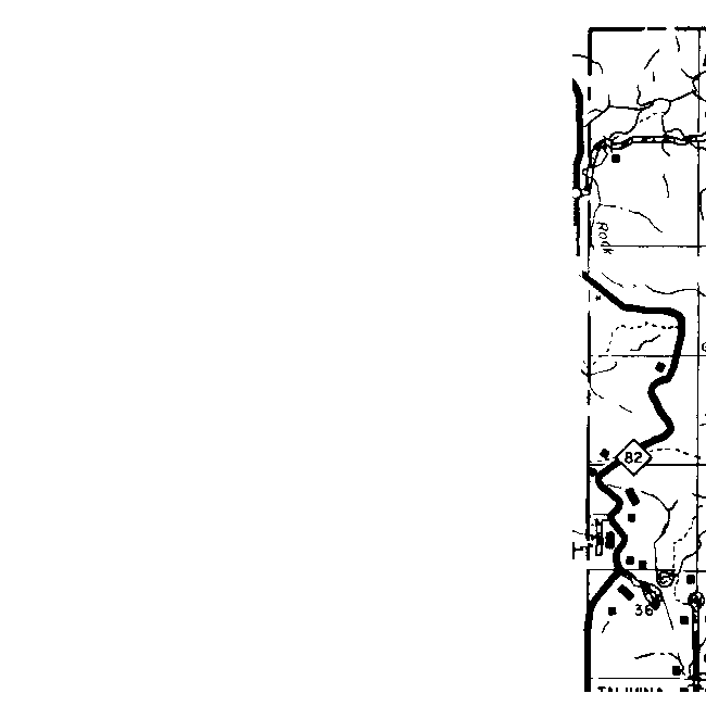
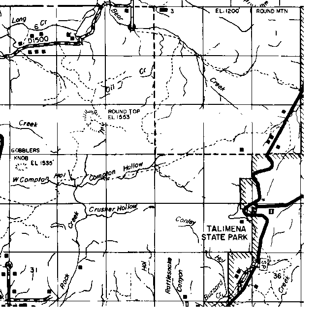
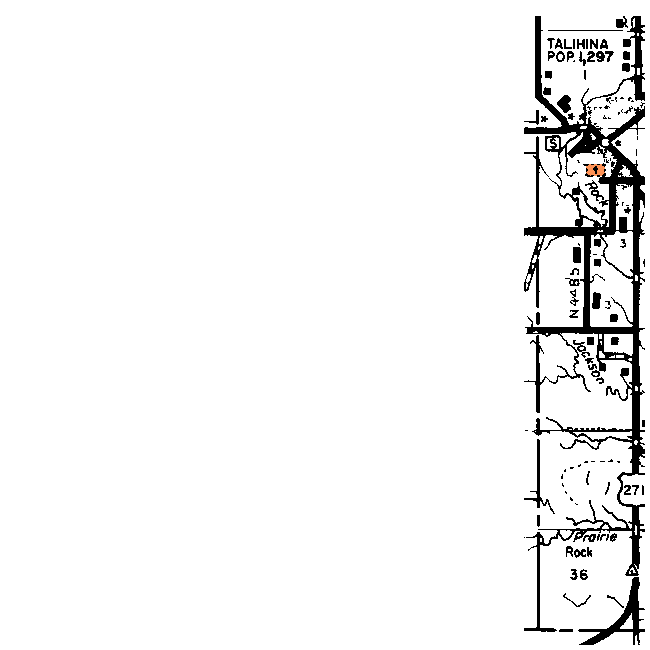
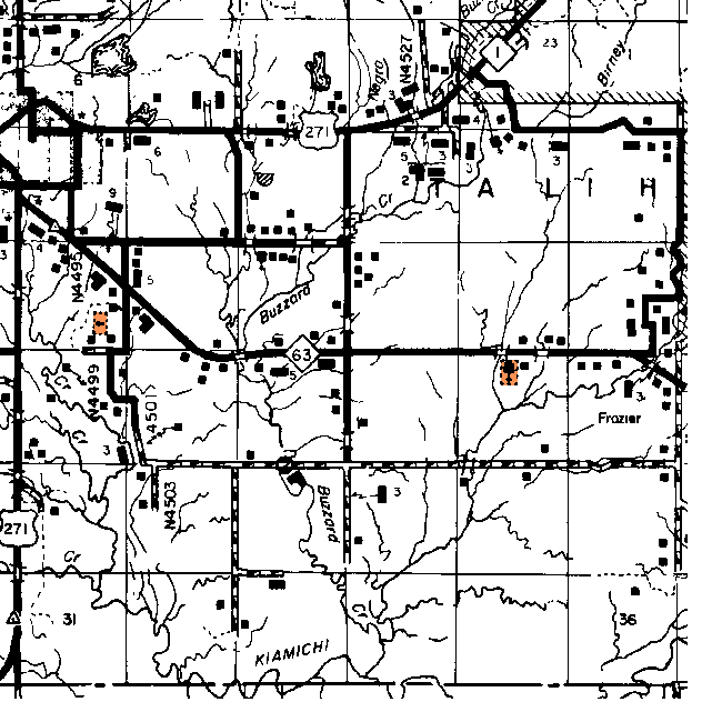
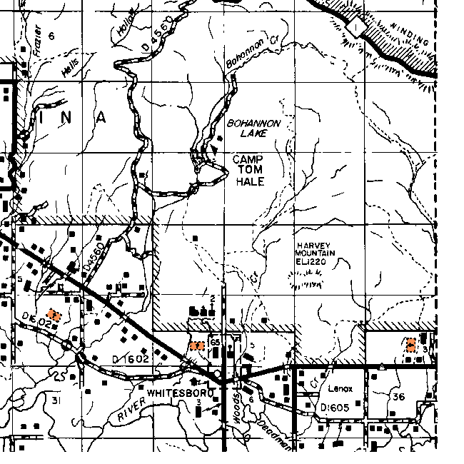
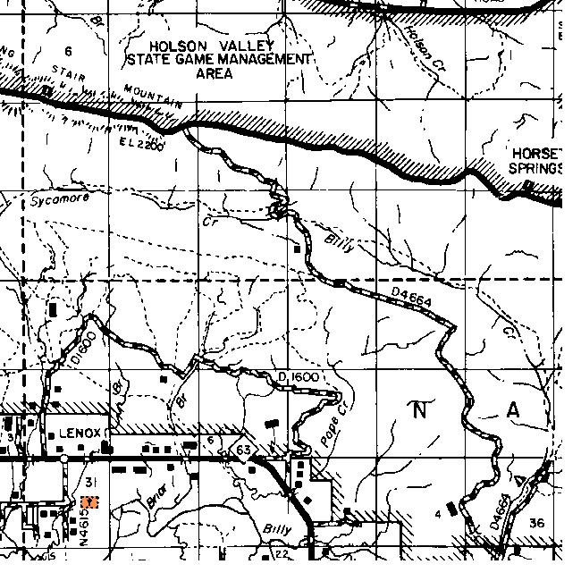
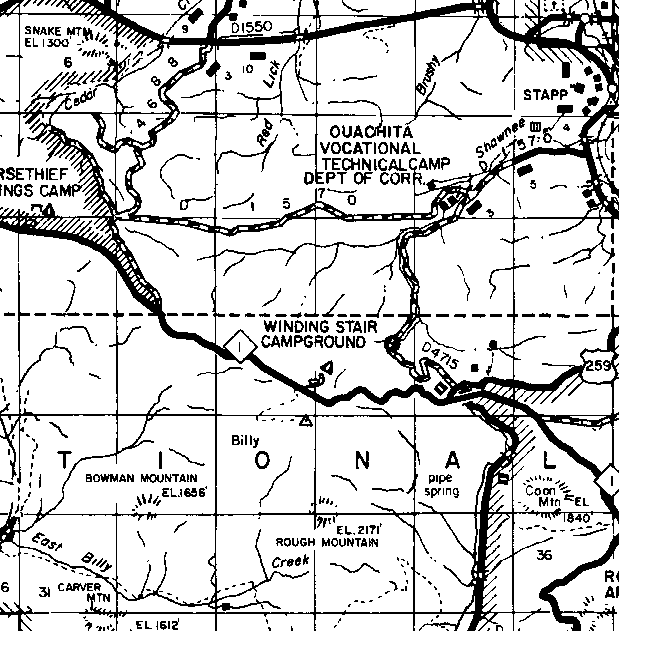
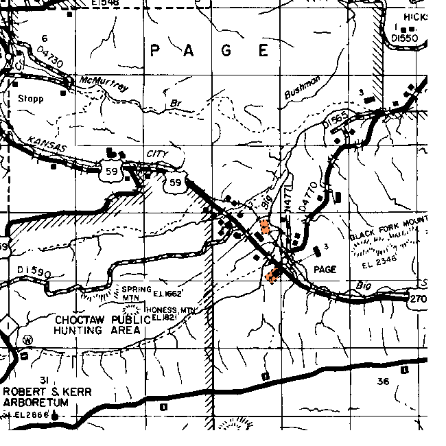
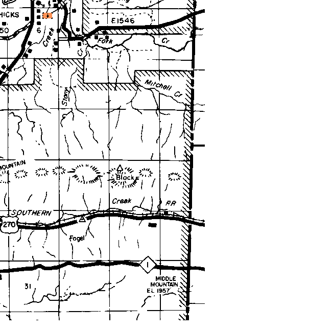
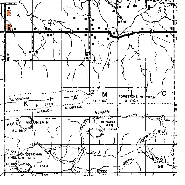
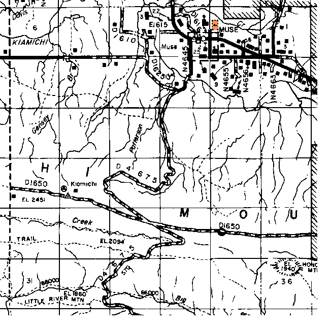
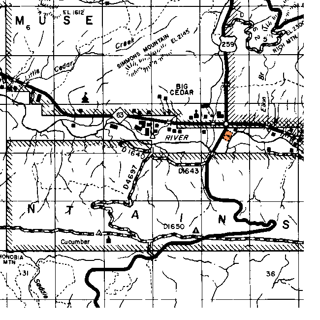
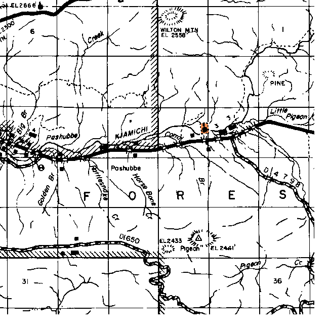
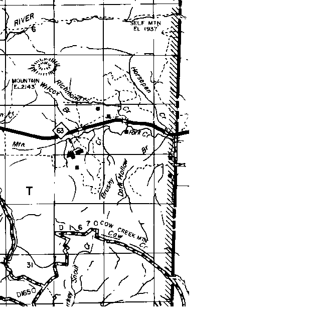
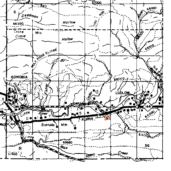
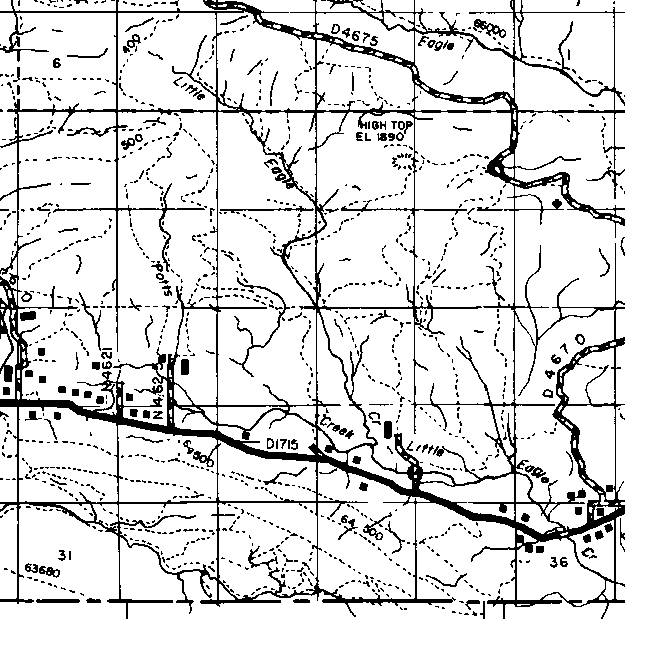
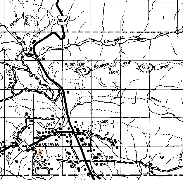
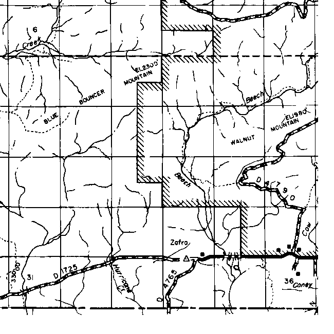
Le Flore County Township Maps
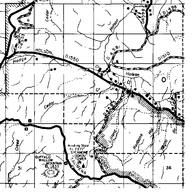
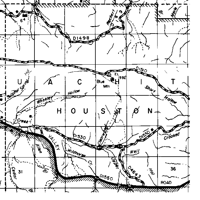
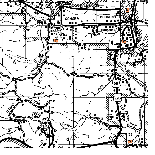
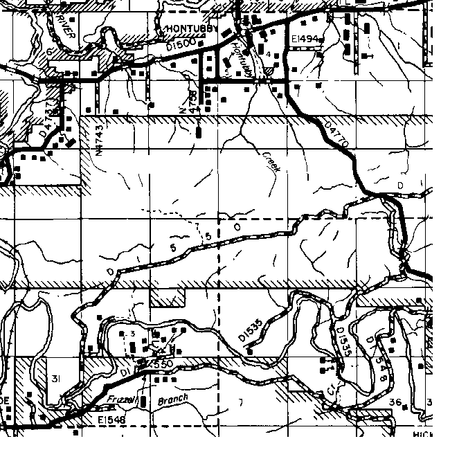
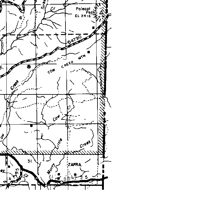
The gridlines on this map are the Township and Range boundaries. Click on any point on the County map to see a much more detailed map showing the 36 sections that make up the numbered Township surrounding it.
| Range 21E | Range 22E | Range 23E | Range 24E | Range 25E | Range 26E | Range 27E | |
|
10N |
|
|
 |
 |
|||
|
9N |
|
|
 |
 |
|||
|
8N |
|
|
|
|
|
||
|
7N |
 |
|
|
 |
 |
||
| 6N |
 |
|
 |
 |
 |
||
| 5N |
 |
 |
|
 |
 |
 |
|
| 4N |
 |
 |
 |
|
 |
 |
 |
| 3N |
 |
 |
 |
|
 |
 |
 |
| 2N |
 |
|
 |
 |
 |
||
| 1N |
 |
|
 |
 |
 |
![]()
|
Page last updated
on
Tuesday, July 21, 2026
This site maintained by
Mel Owings
![]()