
Maps
'n' More
Created
By
Sharon McAllister

|
|
Maps
'n' More |
|
|
|
||
|
|
|
||
|
|
|
|
|
|
|
|
|
|
|
|
|
|
|
|
|
|||
| Back to Garvin County Township Maps | Back to Garvin County Cemetery Lists |
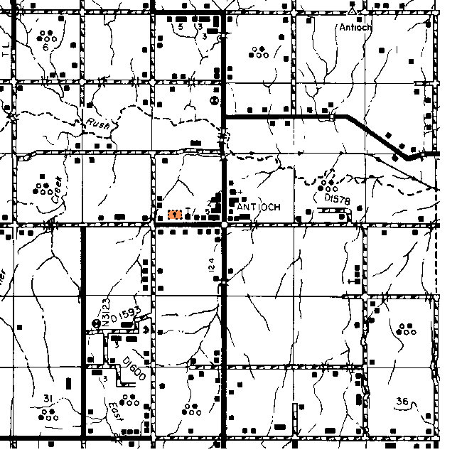
Garvin County - T3N-R2W
Directions provided by Brenda Choate. See the Garvin Co. Map for more details.
Antioch - Section 16. Take Highway 19 to Maysville. On the east side of Maysville you will come to Highway 74. Turn south here and drive 5 to 7 miles. You will come to Antioch. There is a green cemetery sign at a crossroads.. Go west at the sign and down about a mile you will see the cemetery on the north side pretty far back off the road. On down you will come to the cemetery road and turn north and about 1/4 mile up is the cemetery gate.
![]()
|
Page last updated
on
Tuesday, July 21, 2026
This site maintained by
Mel Owings
![]()