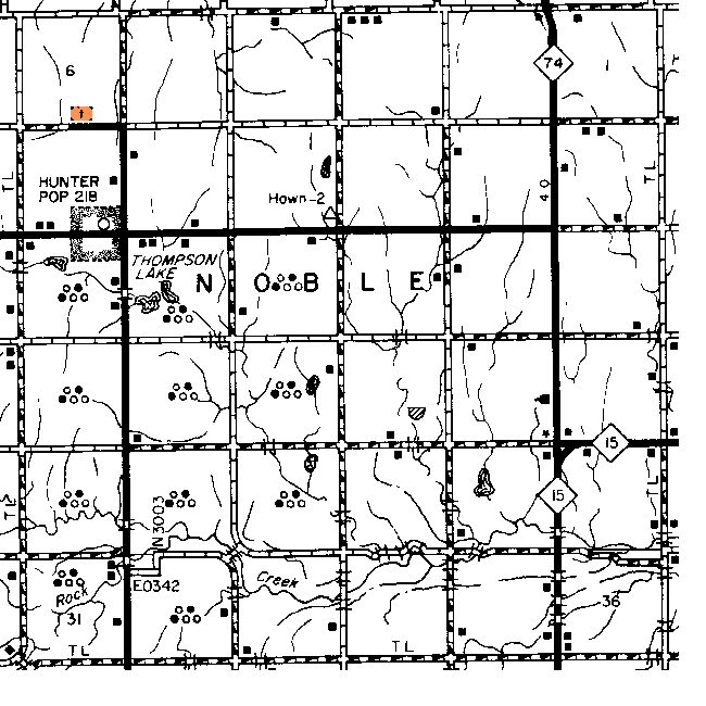
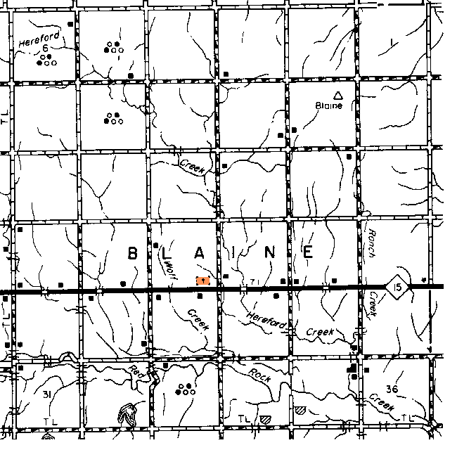
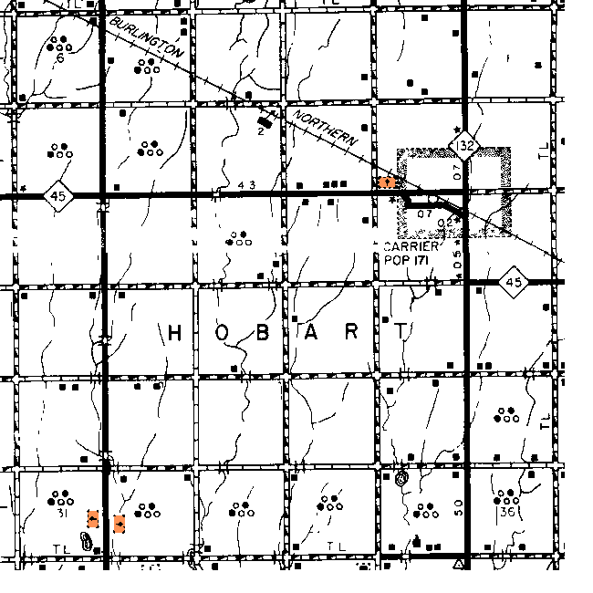
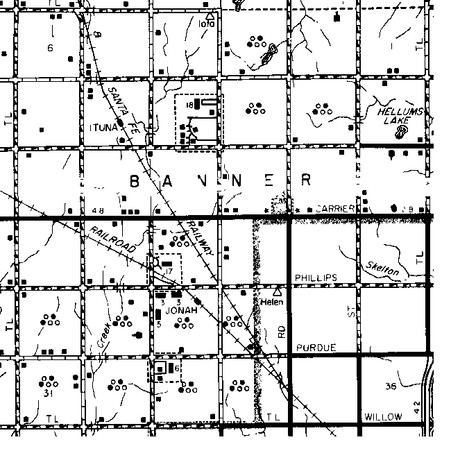
Garfield  County Township Maps

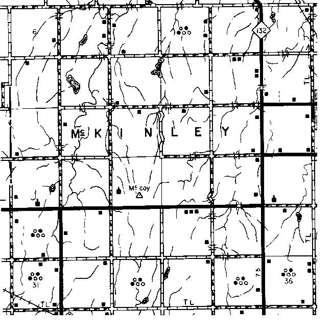
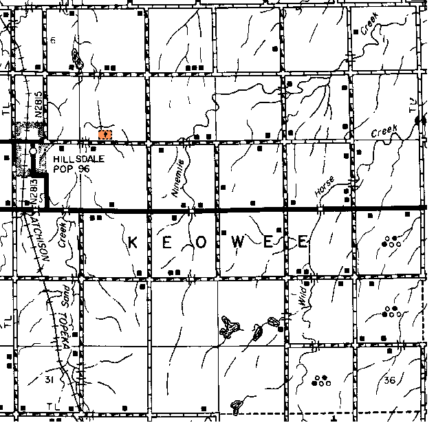
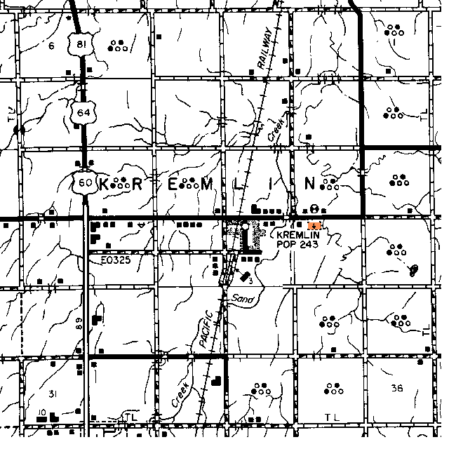
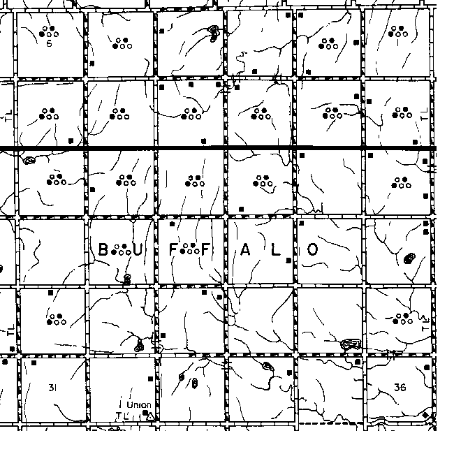
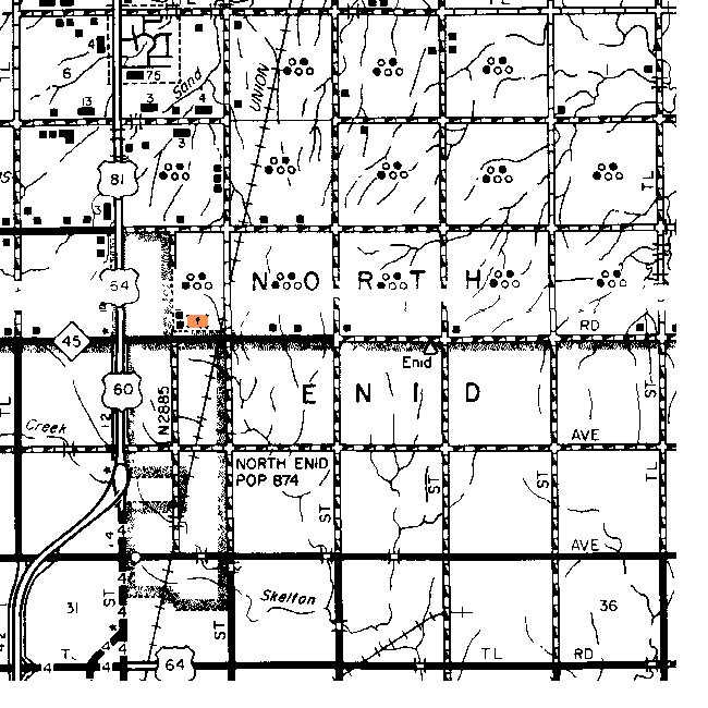
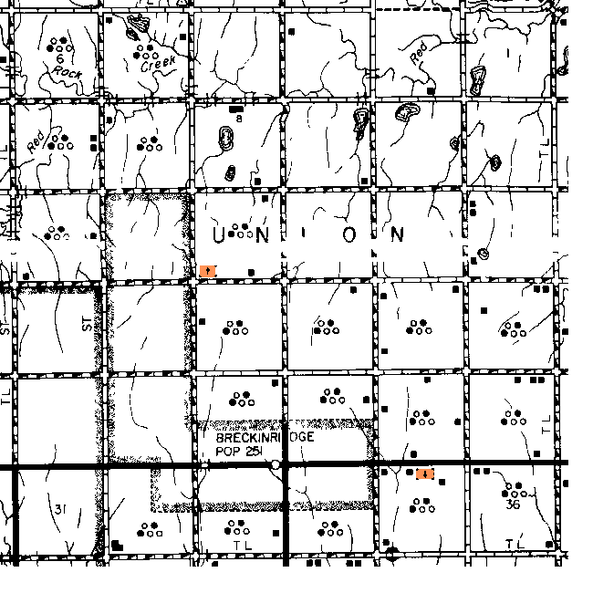
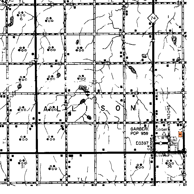
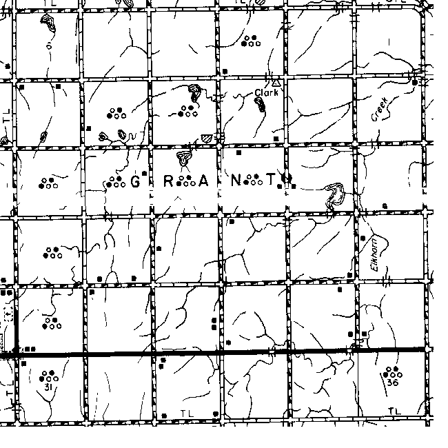
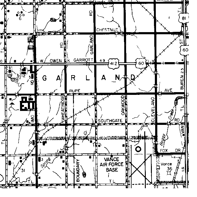
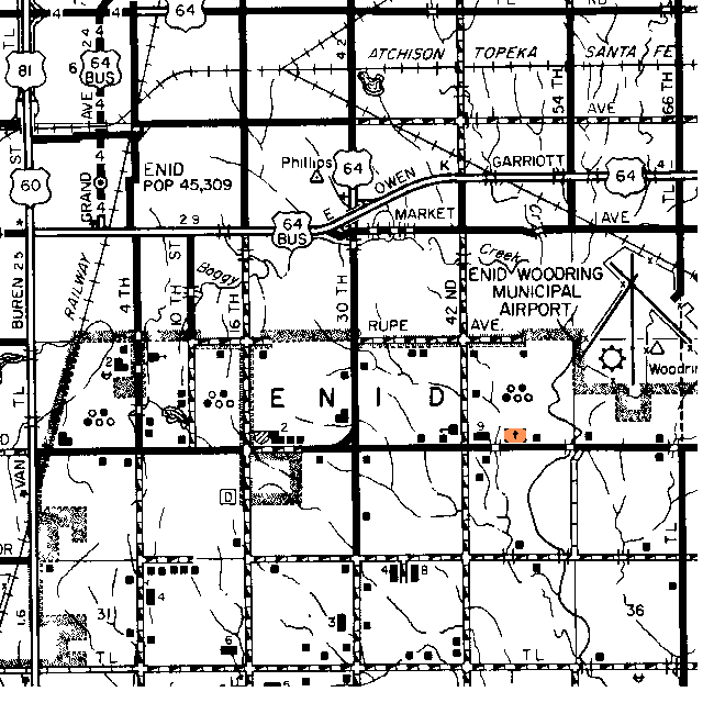
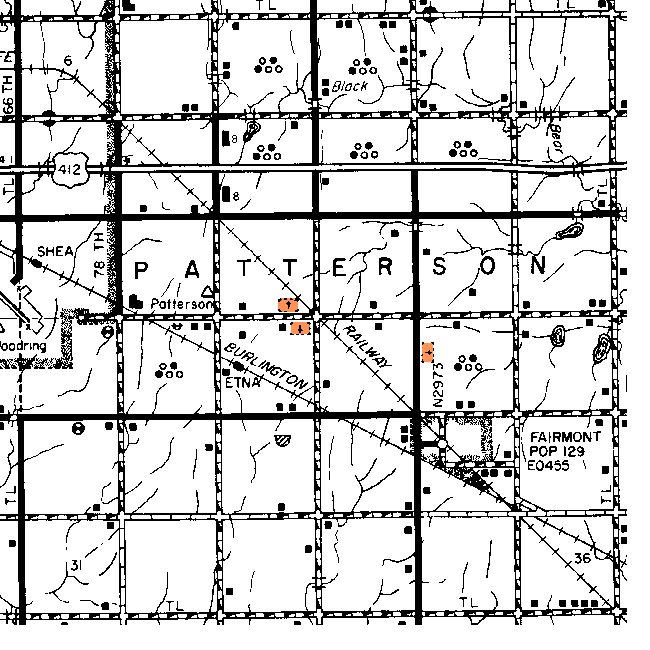
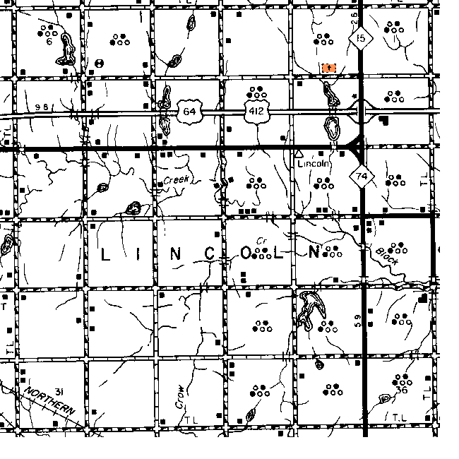
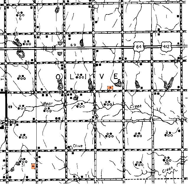
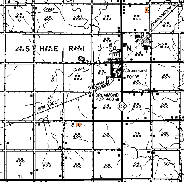
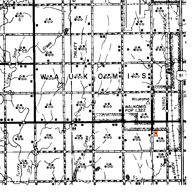
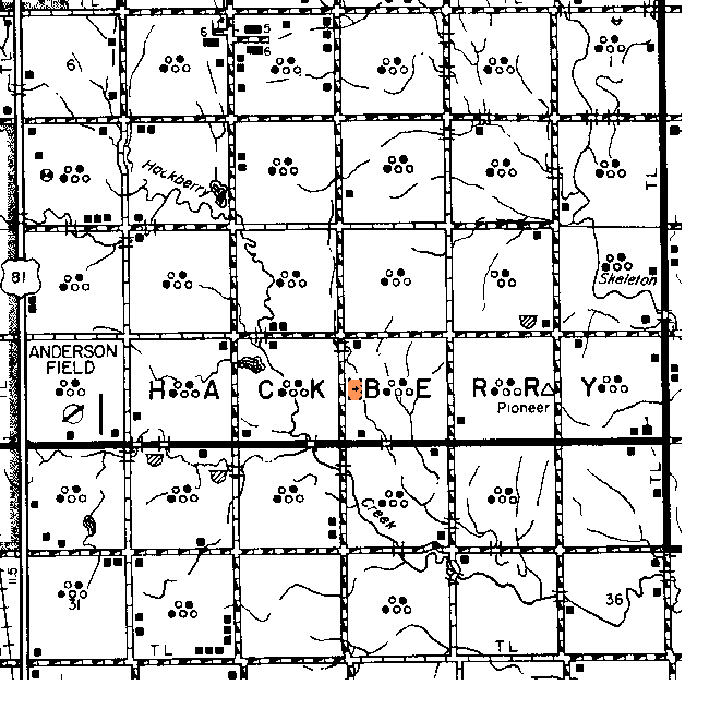
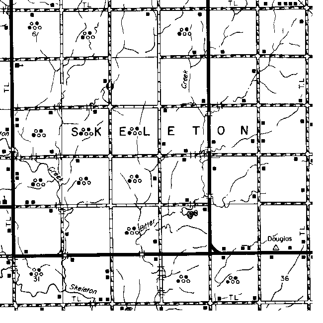
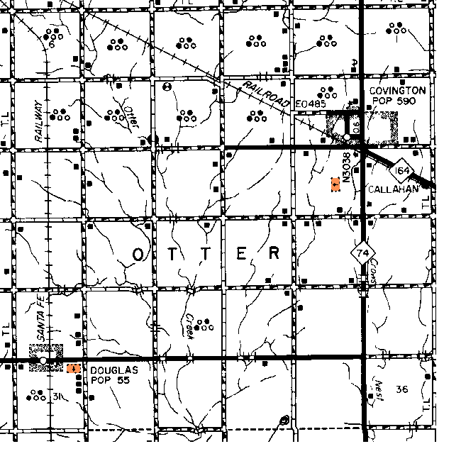
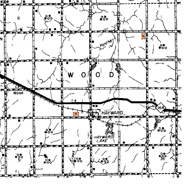
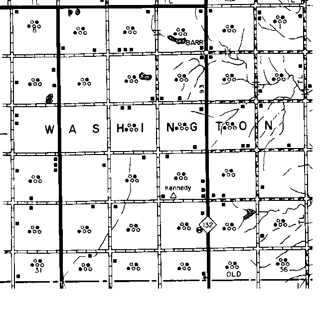
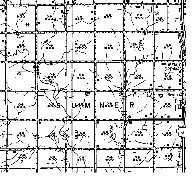
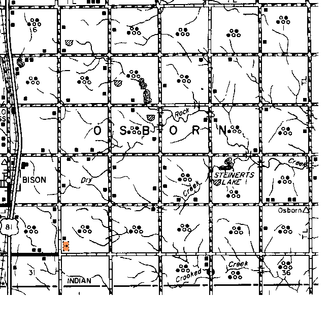
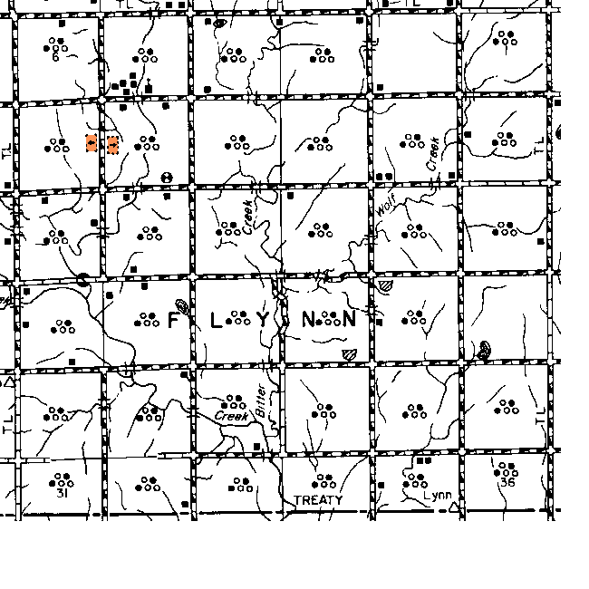
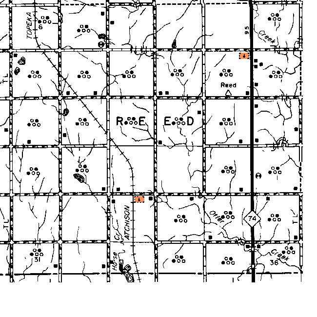
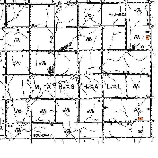
The gridlines on this map are the Township and Range boundaries. Click on any point on the County map to see a much more detailed map showing the 36 sections that make up the numbered Township surrounding it. 

  Range 8W Range 7W Range 6W Range 5W Range 4W Range 3W
24N gar-24n-8w.gif (22102 bytes)

gar-24n-7w-cem.gif (23293 bytes)

gar-24n-6w-cem.gif (24363 bytes)

gar-24n-5w.gif (22502 bytes)

gar-24n-4w-cem.gif (23279 bytes)

gar-24n-3w-cem.gif (22350 bytes)

23N gar-23n-8w-cem.gif (22851 bytes)

gar-23n-7w.gif (23404 bytes)

gar-23n-6w-cem.gif (26228 bytes)

gar-23n-5w-cem.gif (25110 bytes)

gar-23n-4w-cem.gif (23474 bytes)

gar-23n-3w.gif (22055 bytes)

22N gar-22n-8w-cem.gif (24963 bytes) gar-22n-7w.gif (25406 bytes) gar-22n-6w-cem.gif (28108 bytes) gar-22n-5w-cem.gif (24945 bytes) gar-22n-4w-cem.gif (23945 bytes) gar-22n-3w-cem.gif (23901 bytes)
21N gar-21n-8w-cem.gif (22276 bytes)

gar-21n-7w-cem.gif (27634 bytes)

gar-21n-6w-cem.gif (24779 bytes)

gar-21n-5w.gif (21747 bytes)

gar-21n-4w-cem.gif (24421 bytes)

gar-21n-3w-cem.gif (22925 bytes)

20N

gar-20n-8w.gif (19166 bytes)

gar-20n-7w.gif (24482 bytes)

gar-20n-6w-cem.gif (23502 bytes)

gar-20n-5w-cem.gif (22320 bytes)

gar-20n-4w-cem.gif (22145 bytes)

gar-20n-3w-cem.gif (21387 bytes)