
Maps
'n' More
Created
By
Sharon McAllister

|
|
Maps
'n' More |
|
|
|
||
|
|
|
||
|
|
|
|
|
|
|
|
|
|
|
|
|
|
|
|
|
|||
|
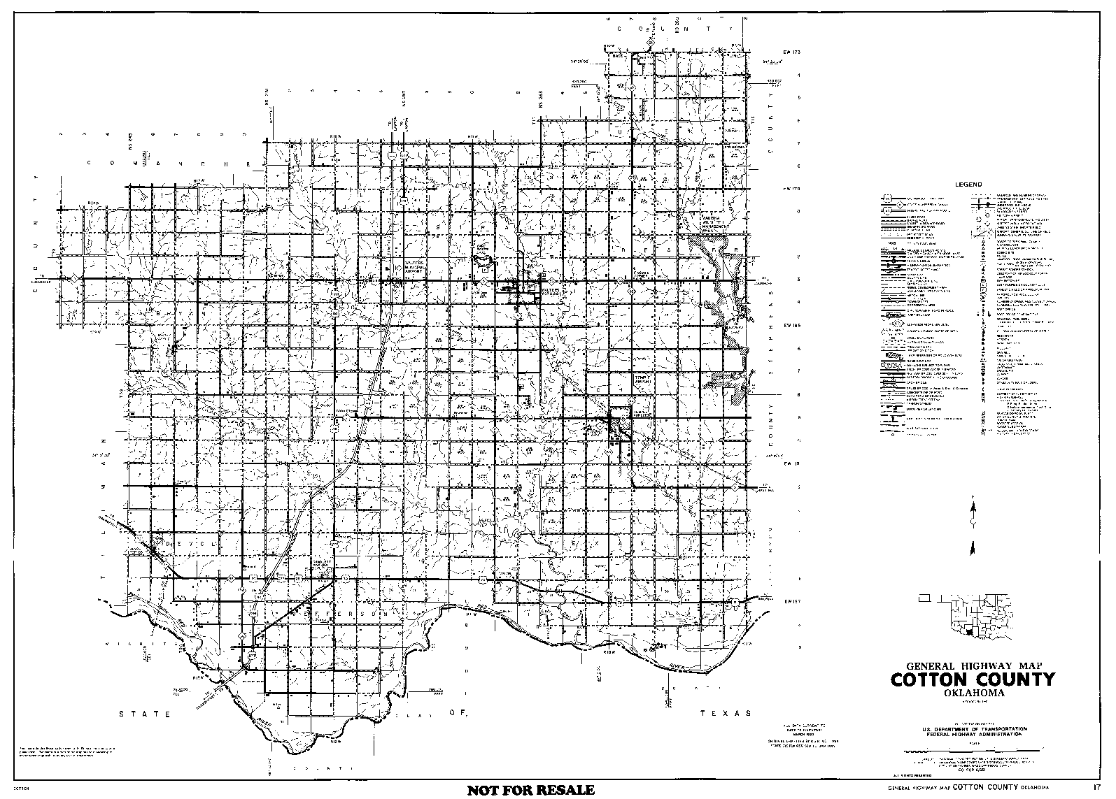
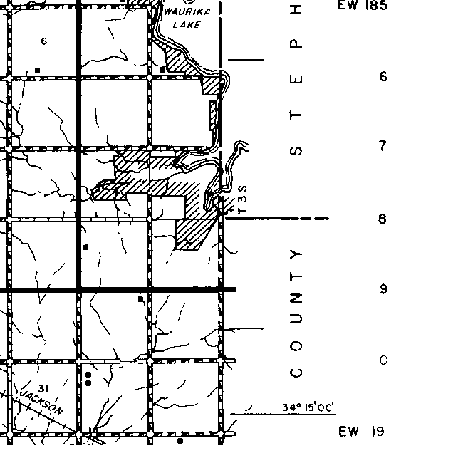
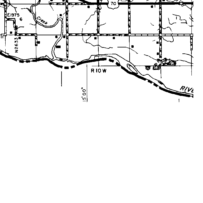
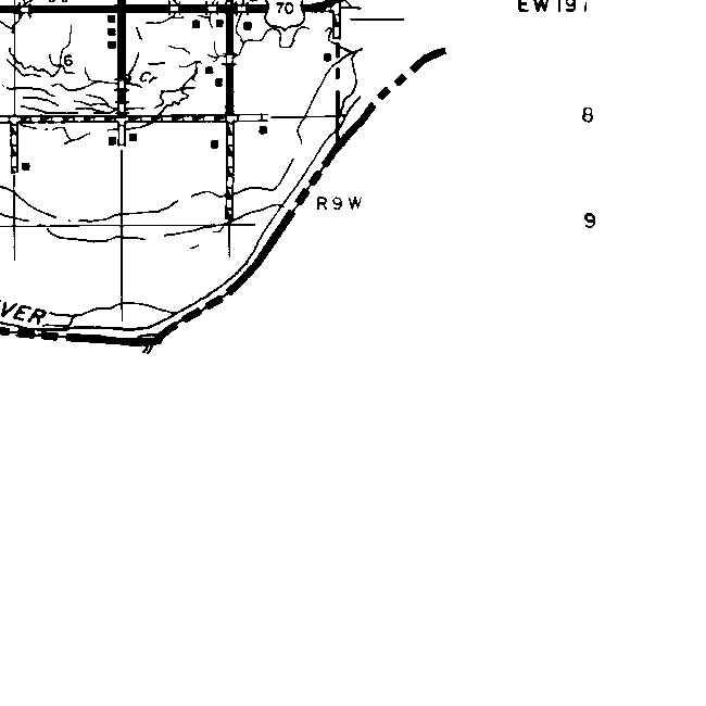
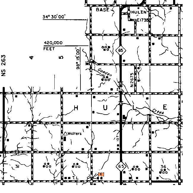
Download File Containing a Detailed County Map |
View a Reduced Version of the County Map |
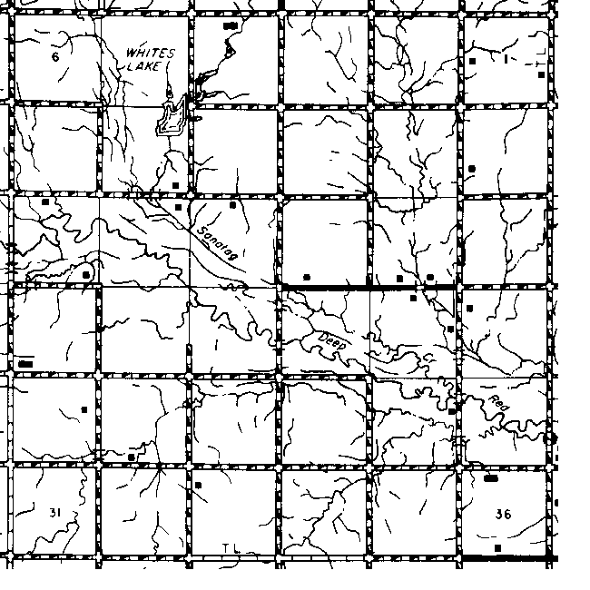
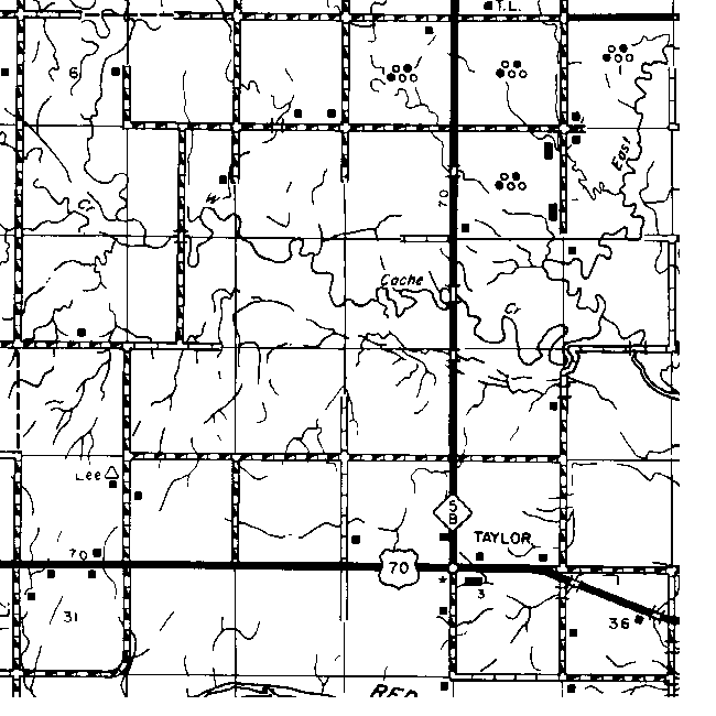
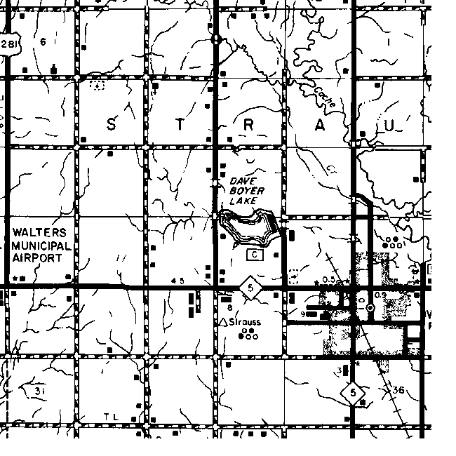
Access Individual Township Maps by Township |
Key to Maps of Towns in Cotton County
This table includes a link to every map on which I've found each town. If an entry in the Township Map column shows a link to only the Township & Range, then that town does not actually appear on the current map but I've found out which township and sometimes which section it was in from other sources.
| Place |
1895 |
1915 |
1972 |
Detailed Township Map |
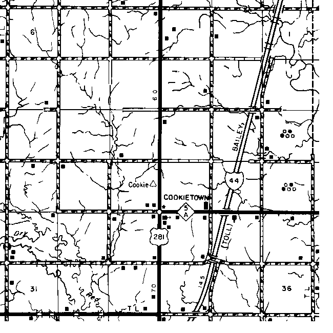
| Adelaide | No | Yes | No | 22 3S 12W |
| Ahpeatone | No | Yes | No | 2 7 2S 13W |
| Airtight | No | No | No | 26 5S 12W |
| Baird | No | No | No | 16 1S 9W |
| Bealer | No | Yes | No | 36-1 2S 10W |
| Botsford | No | No | No | 22-27 3S 10W |
| Cookietown | No | No | Yes | 22 3S 12W |
| Dester | No | No | No | Unknown |
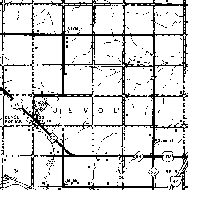
| Devol | No | Yes | Yes | 20 4S 13W |
| Drexter | No | No | No | 30 1S 11W |
| Emerson | No | Yes | No | 27 2S 12W |
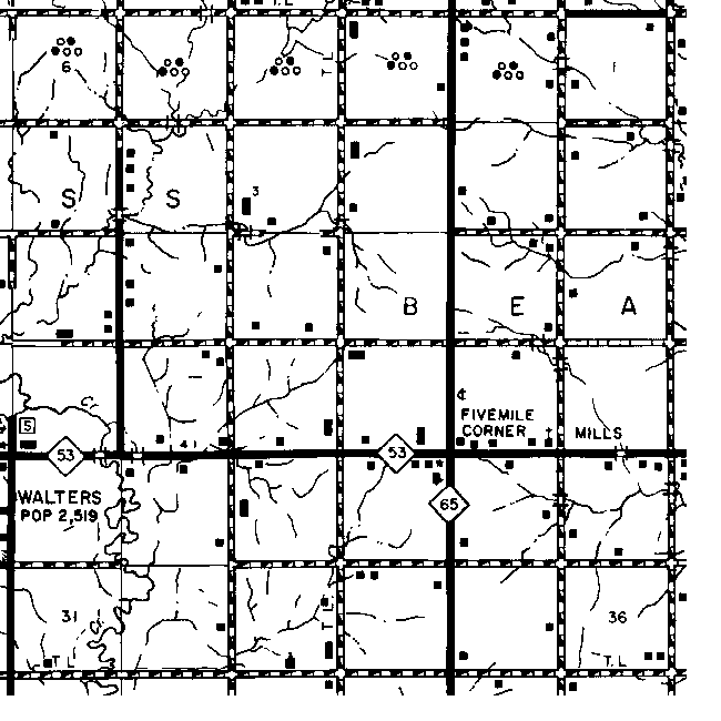
| Five Mile Corner | No | No | No | 26 2S 10W |
| Goodman | No | No | No | 29 4S 9W |
| Greeg | No | No | No | 5 3S 9W |
| Gregg | No | Yes | No | 6 3S 9W |
| Guerry | No | No | No | 1 5S 10W |
| Hooper | No | No | No | 6 5S 9W |
| Hulan | No | No | Yes | 2 1S 10W |
| Mills | No | No | No | 26 2S 10W |
| Newsome | No | No | No | 26 3S 11W |
| Perry | No | No | No | 15 3S 13W |
| Plover | No | No | No |
21-22 2S 9W |
| Randlett | No | Yes | Yes | 28 4S 12W |
| Sage | No | Yes | No | Unknown |
| Stringtown | No | No | Yes | 28 1S 9W |
| Taylor | No | Yes | Yes | 26 4S 11W |
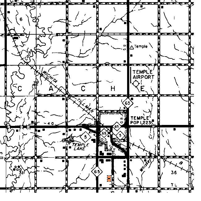
| Temple | No | Yes | ||
| Thelma | No | Yes |
No |
35 1S 10W |
| Walters | No | Yes | Yes | 24-2S 2S 11W |
![]()
|
Page last updated
on
Tuesday, July 21, 2026
This site maintained by
Mel Owings
![]()