
Maps
'n' More
Created
By
Sharon McAllister

|
|
Maps
'n' More |
|
|
|
||
|
|
|
||
|
|
|
|
|
|
|
|
|
|
|
|
|
|
|
|
|
|||
| Back to Woodward Co. Map Links |
1915 Atlas
Woodward County
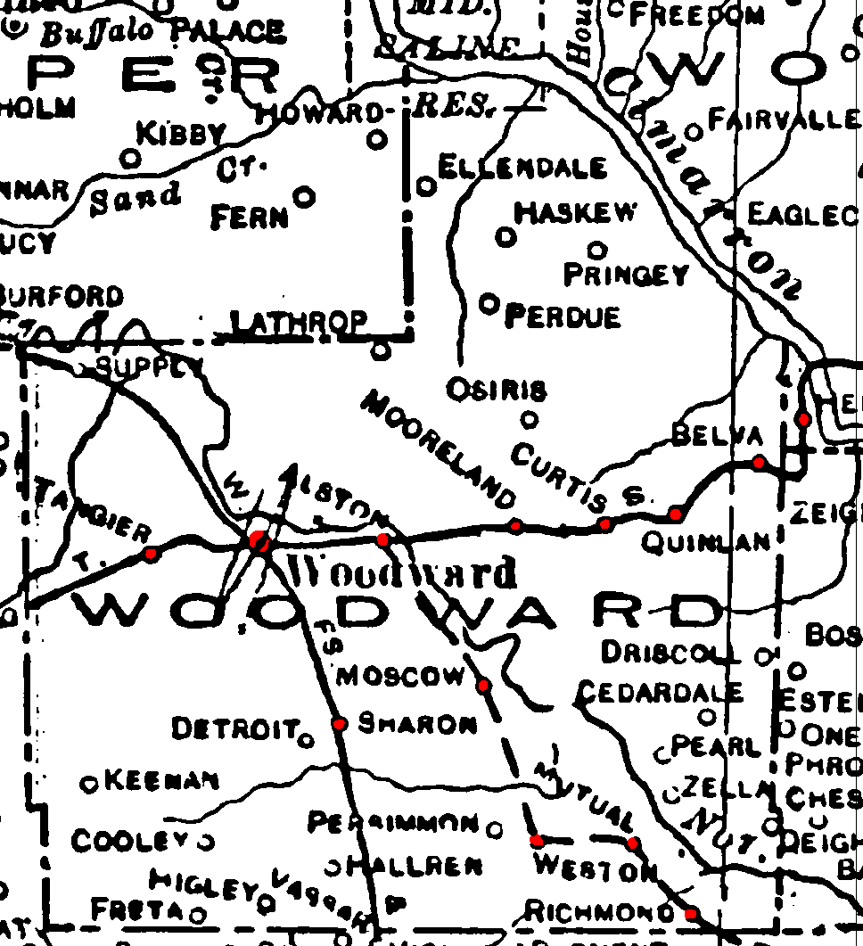
Railroad Stations are shown in red.
The north/south line through the western part of the county was the W. FS. & N. W. Later taken over by the M. K. T., but abandoned by 1972.
The east/west line was the Atchison, Topeka and Santa Fe. It was still in operation in 1972.
The proposed line from Alton through the southeast corner of the state to Ingleton was not named.
The Atlas shows no roads in Woodward County. The thin lines are rivers and creeks.
![]()
|
Page last updated
on
Tuesday, June 30, 2026
This site maintained by
Mel Owings
![]()