
Maps
'n' More
Created
By
Sharon McAllister

|
|
Maps
'n' More |
|
|
|
||
|
|
|
||
|
|
|
|
|
|
|
|
|
|
|
|
|
|
|
|
|
|||
| Back to Nowata Co. Map Links |
1915 Atlas
Nowata County
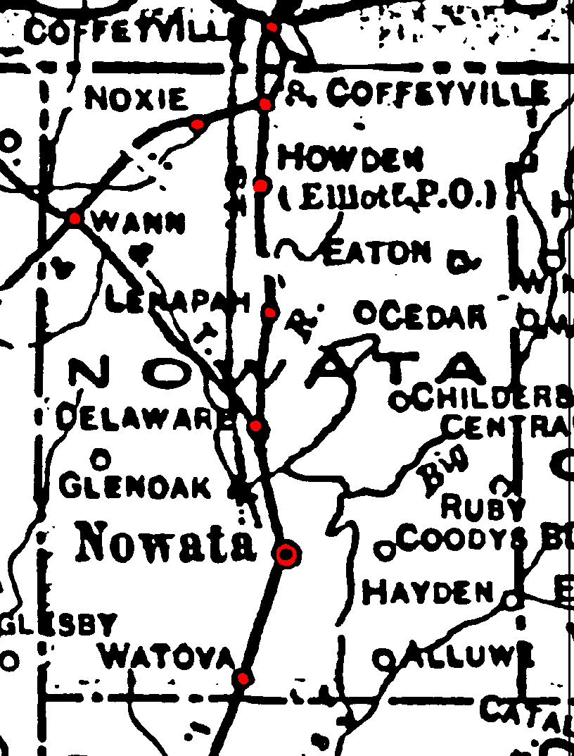
Railroad Stations are shown in red.
The north-south line was the I. M. & S, still operating in 1972 as the Missouri-Pacific.
The M. K. & T. cut through the northwest corner. It was still operational in 1972.
The line coming in from the north west is labeled the C. O. & T, but I have not found its full name. It had been abandoned by 1972.
The medium-width line that runs to the west of the railroad from just northwest of Nowata past the Kansas border is a Trolley.
The thin lines are rivers and creeks.
![]()
|
Page last updated
on
Tuesday, June 30, 2026
This site maintained by
Mel Owings
![]()