Maps
'n' More
Created
By
Sharon McAllister

|
|
Maps
'n' More |
|
|
|
||
|
|
|
||
|
|
|
|
|
|
|
|
|
|
|
|
|
|
|
|
|
|||
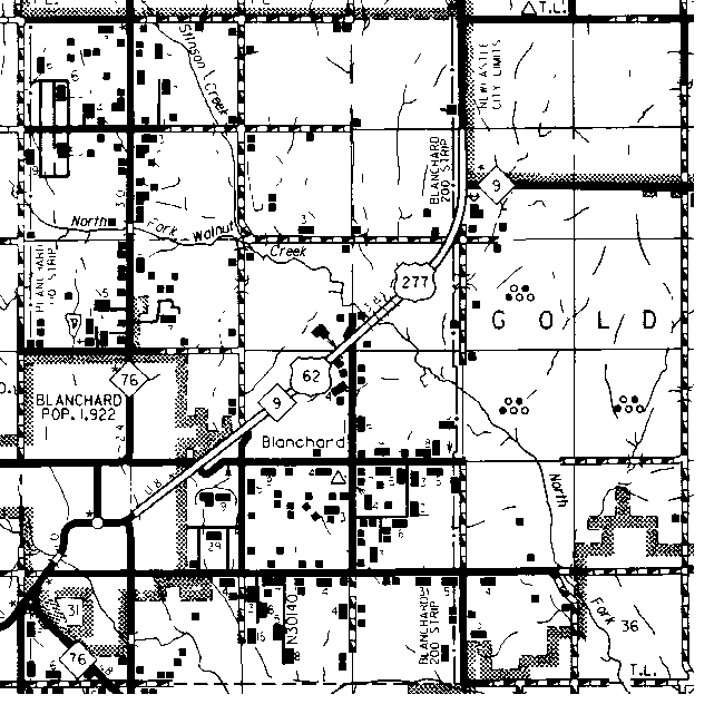
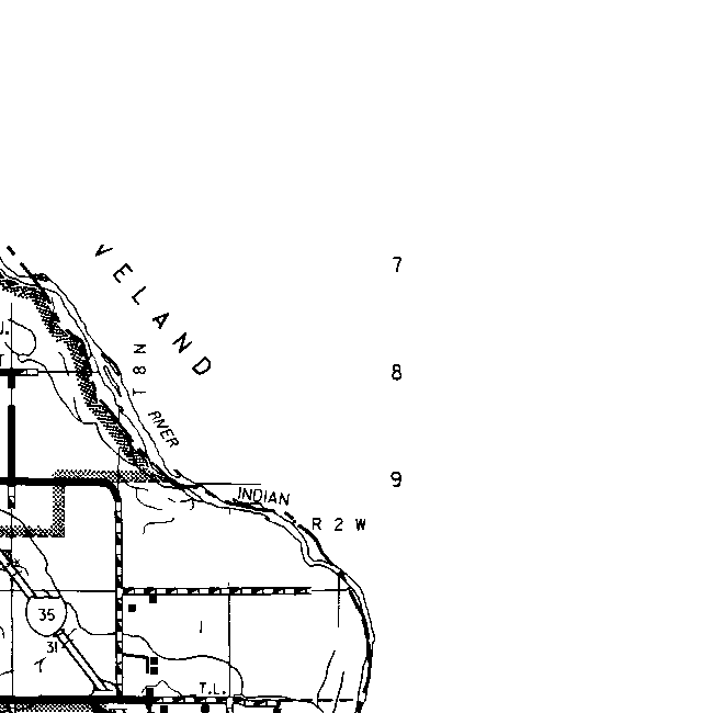
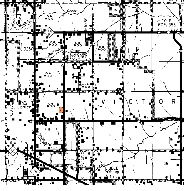
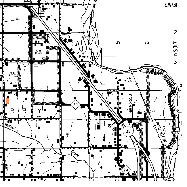
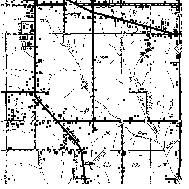
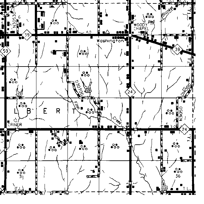
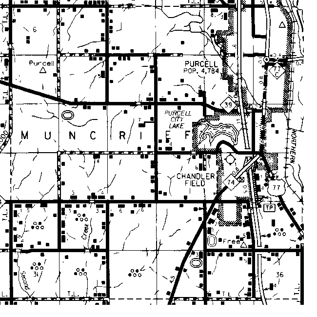
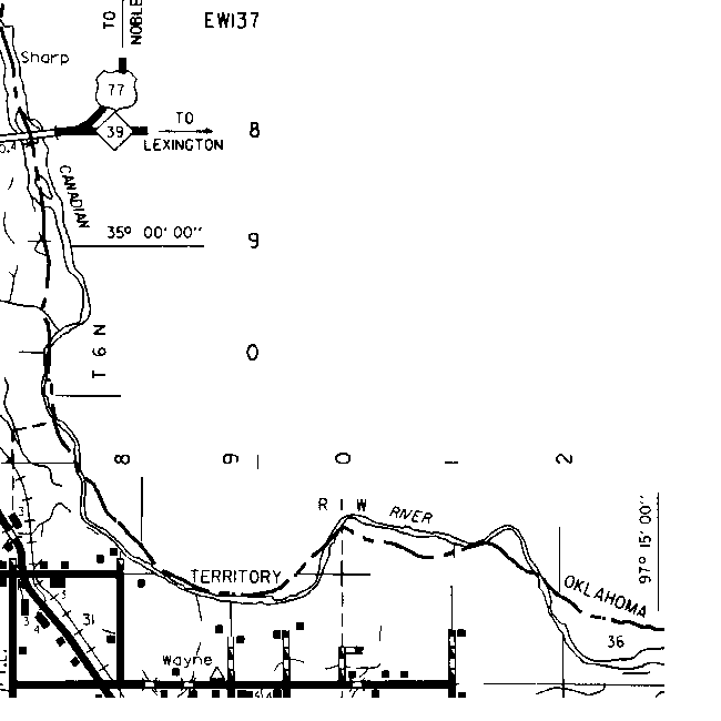
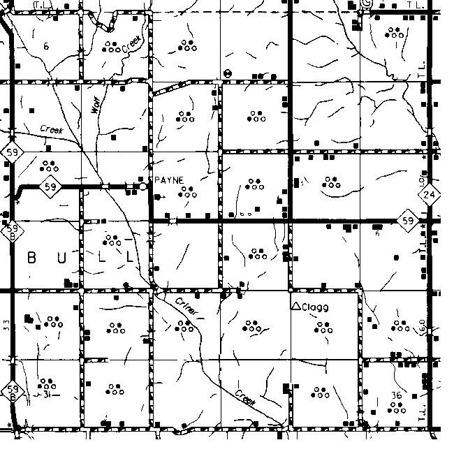
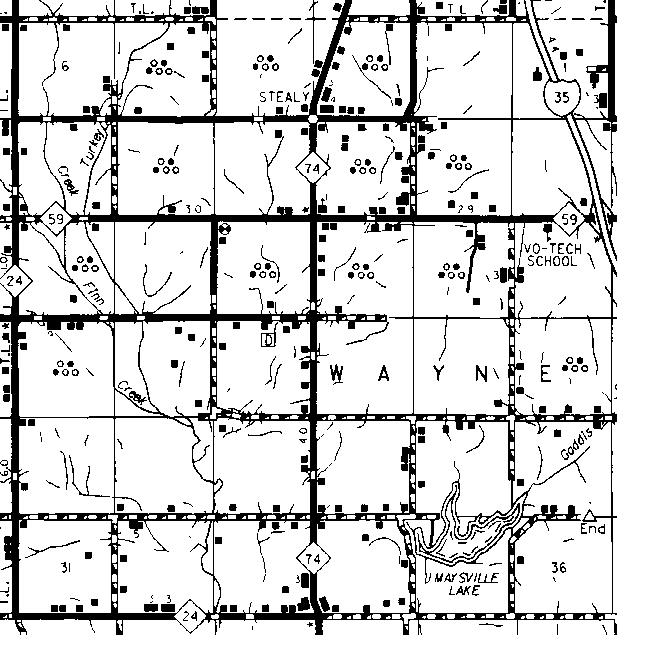
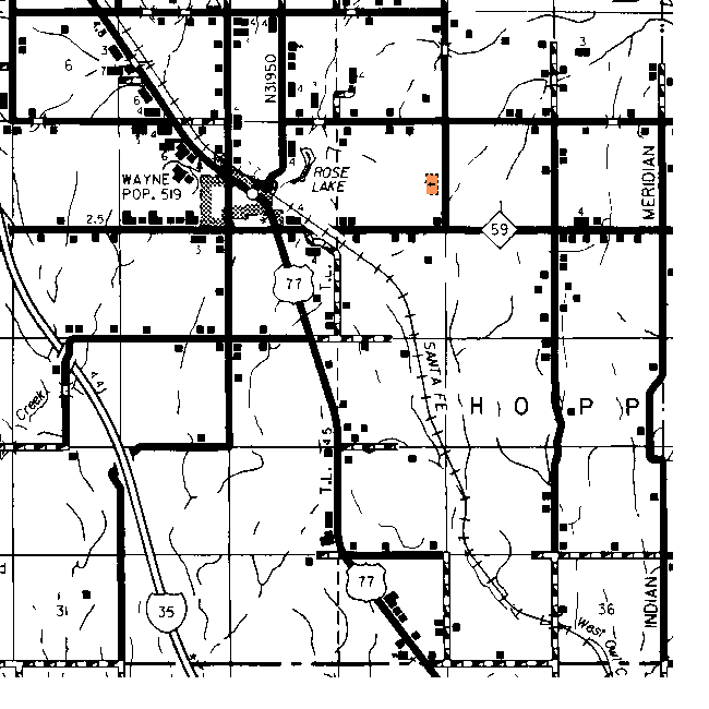
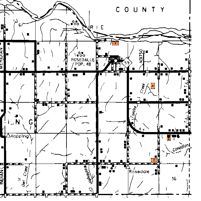
McClain County Township Maps
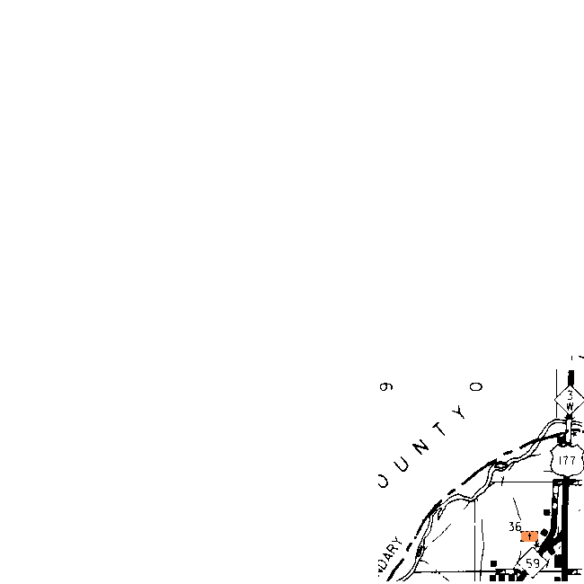
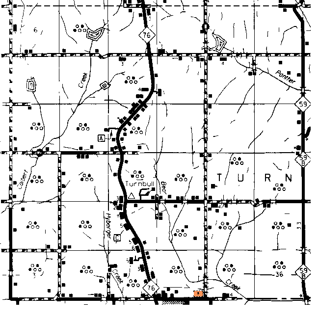
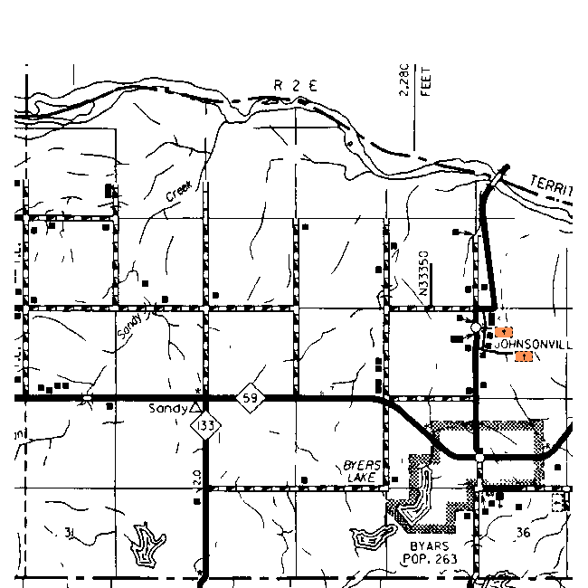
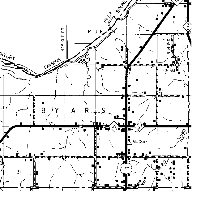
The gridlines on this map are the Township and Range boundaries. Click on any point on the County map to see a much more detailed map showing the 36 sections that make up the numbered Township surrounding it. This map has two parts and the gap in Township 9N is just the match line.
| Range 4W | Range 3W | Range 2W | Range 1W | Range 1E | Range 2E | Range 3E | |
| 10N | 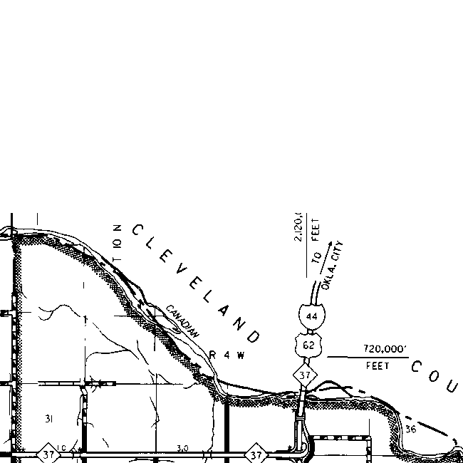 |
||||||
| 9N | 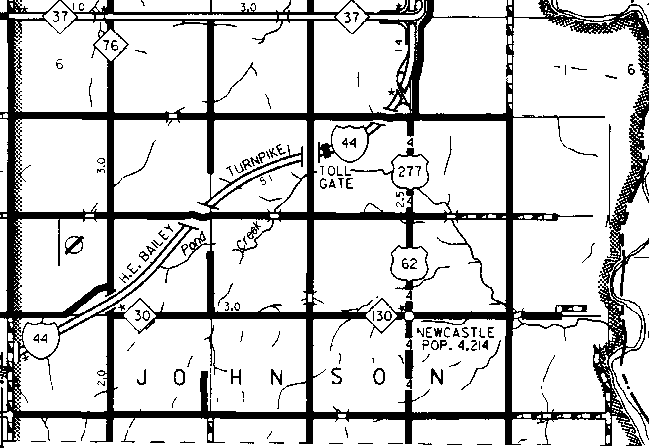 |
||||||
|
|
|
|
|
|
|||
|
8N |
|
|
|
|
|
||
|
7N |
|
|
|
|
|
||
|
6N |
|
|
|
|
|
 |
|
|
5N |
 |
|
 |
 |
 |
 |
 |
![]()
|
Page last updated
on
Saturday, July 18, 2026
This site maintained by
Mel Owings
![]()