OKGenWeb Logo

Maps 'n' More
Created By Sharon McAllister

USGenWeb Logo

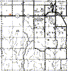
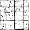
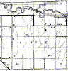
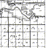
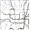
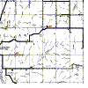
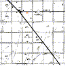
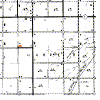
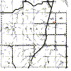
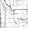
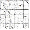
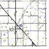
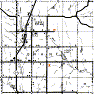
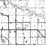
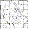
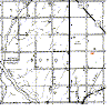
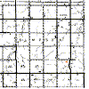
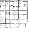
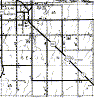
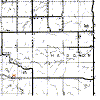
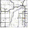
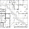
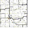
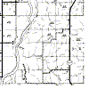
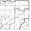
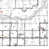
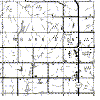
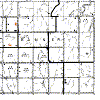
Dewey County Township Maps

The gridlines on this map are the Township and Range boundaries. Click on any point to see a much larger, detailed map of that Township or use the links provided on the List of Towns in Dewey County to find the right map.  

  Range 20W Range 19W Range 18W Range 17W Range 16W Range 15W Range 14W
19N

dew-19n-20w-cem.gif (21887 bytes)

dew-19n-19w-cem.gif (19806 bytes)

dew-19n-18w-cem.gif (20390 bytes) dew-19n-17w.gif (19681 bytes) dew-19n-16w.gif (21347 bytes)

dew-19n-15w.gif (19996 bytes)

dew-19n-14w.gif (22862 bytes)

18N

dew-18n-20w-cem.gif (18664 bytes)

dew-18n-19w-cem.gif (18000 bytes)

dew-18n-18w-cem.gif (17299 bytes) dew-18n-17w-cem.gif (19950 bytes) dew-18n-16w.gif (18100 bytes)

dew-18n-15w-cem.gif (16688 bytes)

dew-18n-14w-cem.gif (16566 bytes)

17N

dew-17n-20w-cem.gif (18156 bytes)

dew-17n-19w-cem.gif (19023 bytes)

dew-17n-18w-cem.gif (17201 bytes) dew-17n-17w.gif (18956 bytes) dew-17n-16w-cem.gif (17951 bytes)

dew-17n-15w-cem.gif (18673 bytes)

dew-17n-14w-cem.gif (17634 bytes)

16N

dew-16n-20w-cem.gif (19781 bytes)

dew-16n-19w-cem.gif (19910 bytes)

dew-16n-18w-cem.gif (20694 bytes) dew-16n-17w.gif (19922 bytes) dew-16n-16w-cem.gif (20369 bytes)

dew-16n-15w.gif (20930 bytes)

dew-16n-14w-cem.gif (20104 bytes)

Thanks for stopping by!
Maps 'n' More

State-wide resources formerly found on Ceil's Corner 
Created By Sharon McAllister
Became an OKGenWeb Special Project  March 31, 2001
© 2001 - 2024 OKGenWeb

mini envelope E-mail Maps 'n' More

bug  Find any bugs or broken links?
Please Report them here
bug

Page last updated on
 Saturday, April 20, 2024 

This site maintained by Mel Owings