
Maps
'n' More
Created
By
Sharon McAllister

|
|
Maps
'n' More |
|
|
|
||
|
|
|
||
|
|
|
|
|
|
|
|
|
|
|
|
|
|
|
|
|
|||
![]()
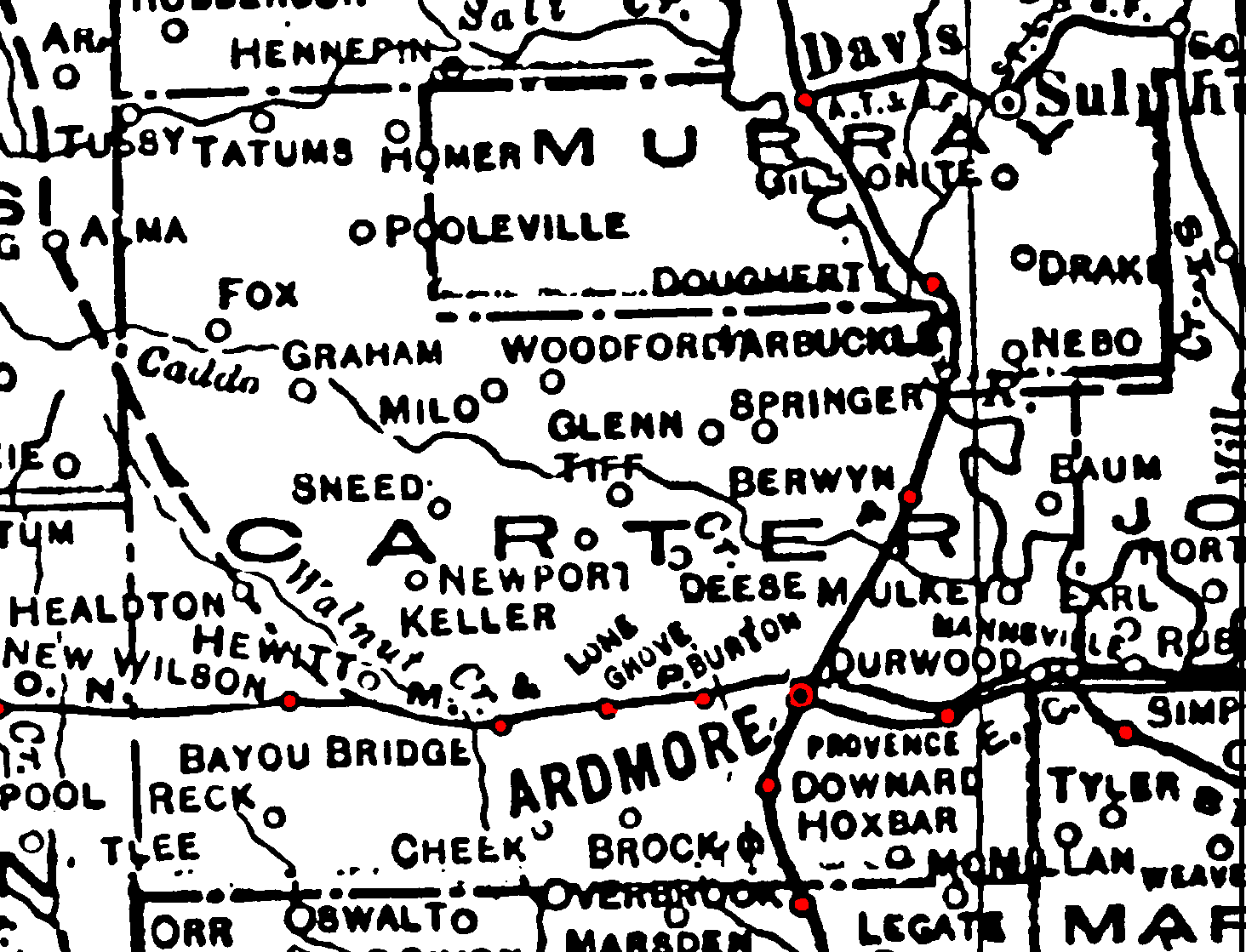
1895 Atlas Key, including the Carter County area.
![]()
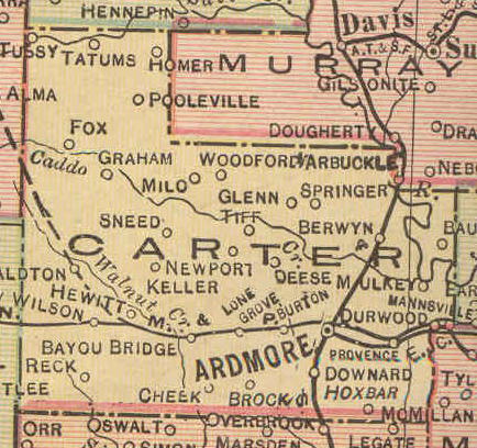
1915 Railroad Map for Carter County |
|
![]()
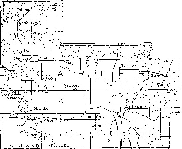
1972 USGS Map for Carter Co. |
|
![]()
|
Current DoT Maps for Carter County |
||
|
Thumbnails with Links to Printer-Friendly Township Maps |
Thumbnails |
1972 Map with links to Township Images |
![]()
Populated Places in Carter County
Cemetery Locations in Carter County
OKGenWeb's Carter Co. Site
![]()
|
Page last updated
on
Thursday, April 09, 2026
This site maintained by
Mel Owings
![]()