
Maps
'n' More
Created
By
Sharon McAllister

|
|
Maps
'n' More |
|
|
|
||
|
|
|
||
|
|
|
|
|
|
|
|
|
|
|
|
|
|
|
|
|
|||
![]()
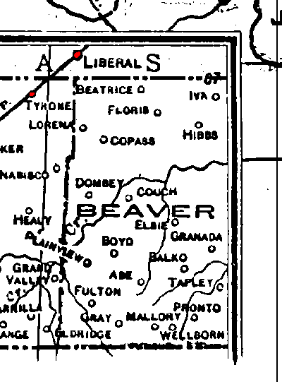
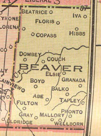
1895 Atlas Key, including the Beaver County area.
![]()
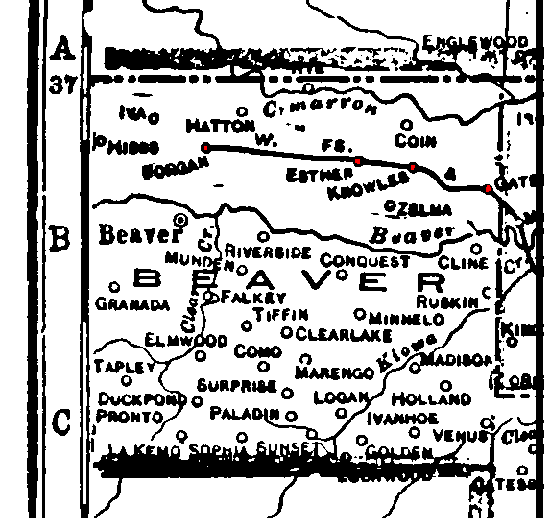
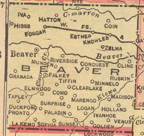
1915 Railroad Map for Beaver County |
|||
| Image Only, East Half | |||
| Rescanned Full Color Image, West Half | Rescanned Full Color Image, East Half | ||
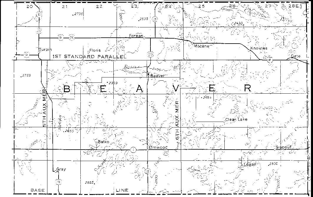
![]()
1972 USGS Map for Beaver Co. |
|
![]()
|
Current DoT Maps for Beaver County |
||
|
Thumbnails with Links to Printer-Friendly Township Maps |
Thumbnails with Links to images of Township Maps |
1972 Map with links to Township Images |
![]()
Populated Places in Beaver from 1895 to date
Cemetery Locations in Beaver Co.
OKGenWeb's Beaver Co. Site
![]()
|
Page last updated
on
Tuesday, June 30, 2026
This site maintained by
Mel Owings
![]()